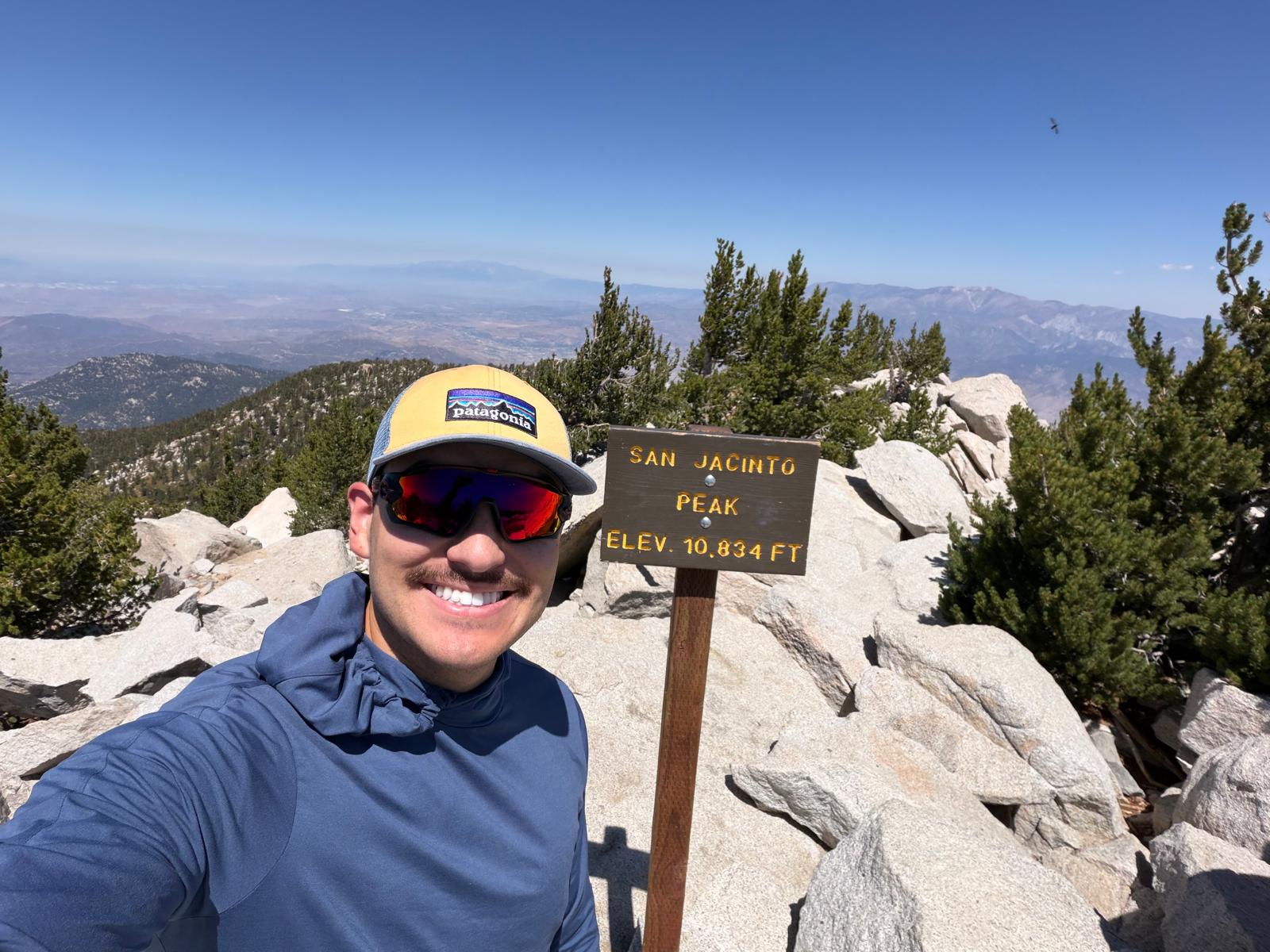
August 1, 2026 · Deer Springs Trail · the quiet way up, and the best summit view I've found in Southern California so far.
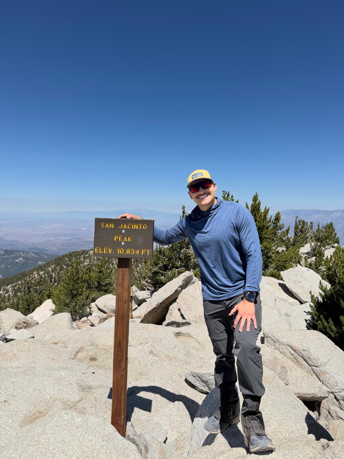
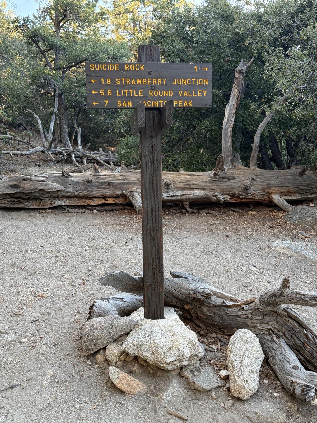
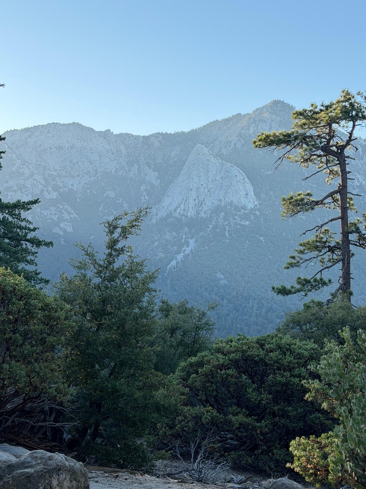
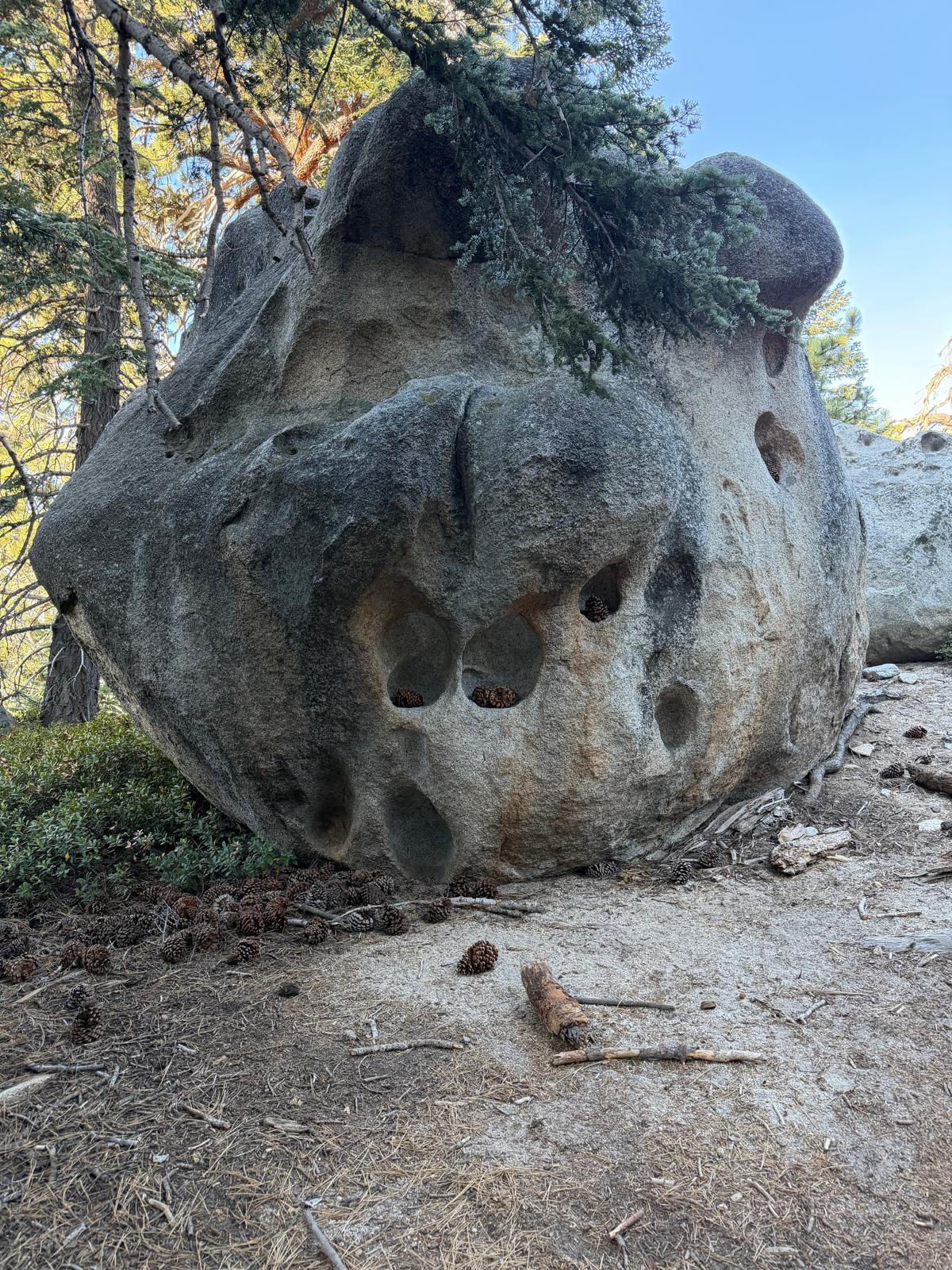
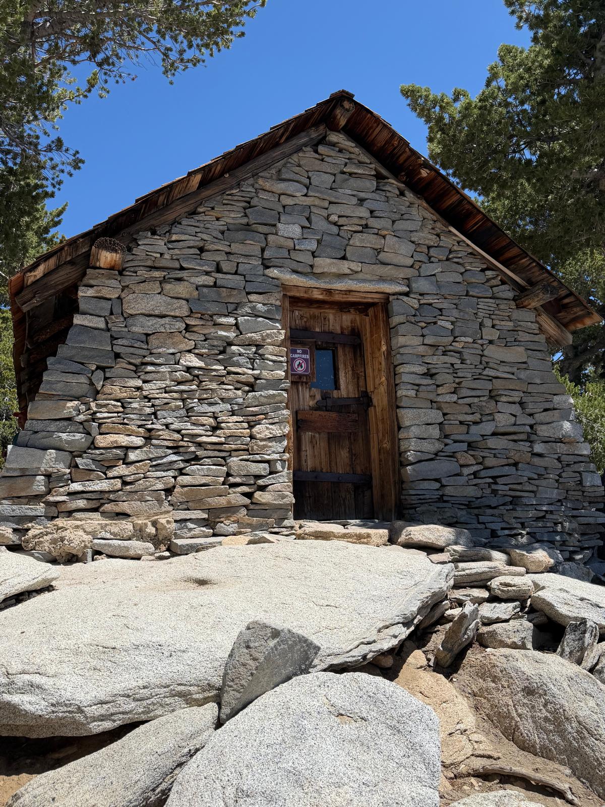
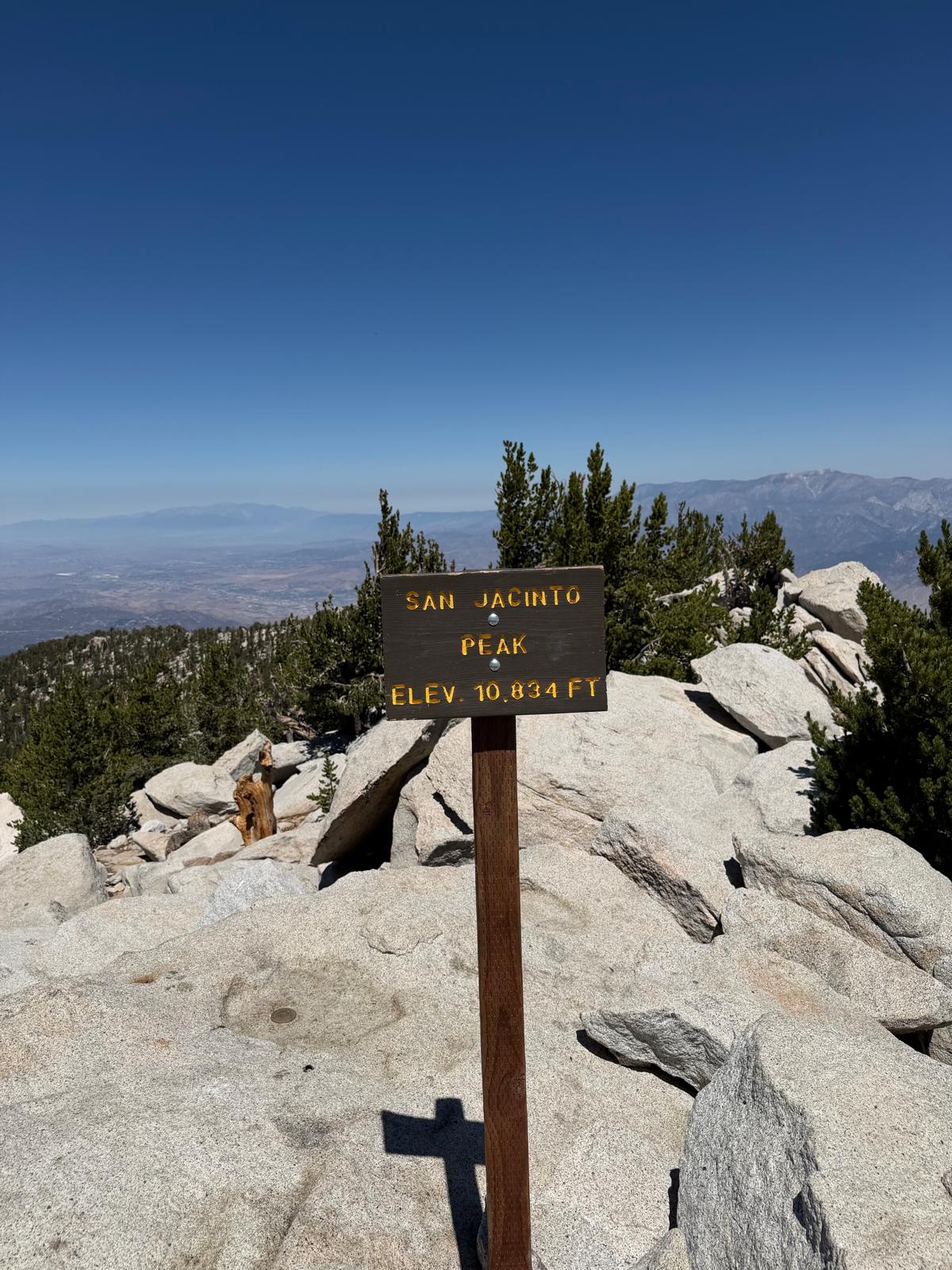
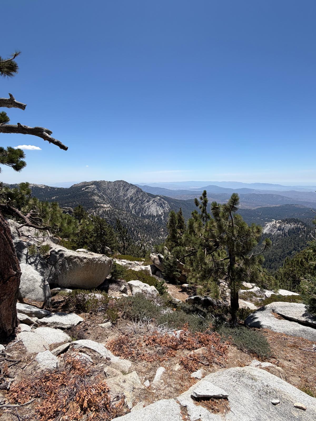
San Jacinto Peak stands 10,834 feet above Palm Springs, and Deer Springs is the quiet way up it. Nineteen miles out of Idyllwild through pine forest, granite, and high country that stays scenic the whole way. I enjoyed this one from start to finish, which is not something I say about every long day on trail. Especially the training hikes.
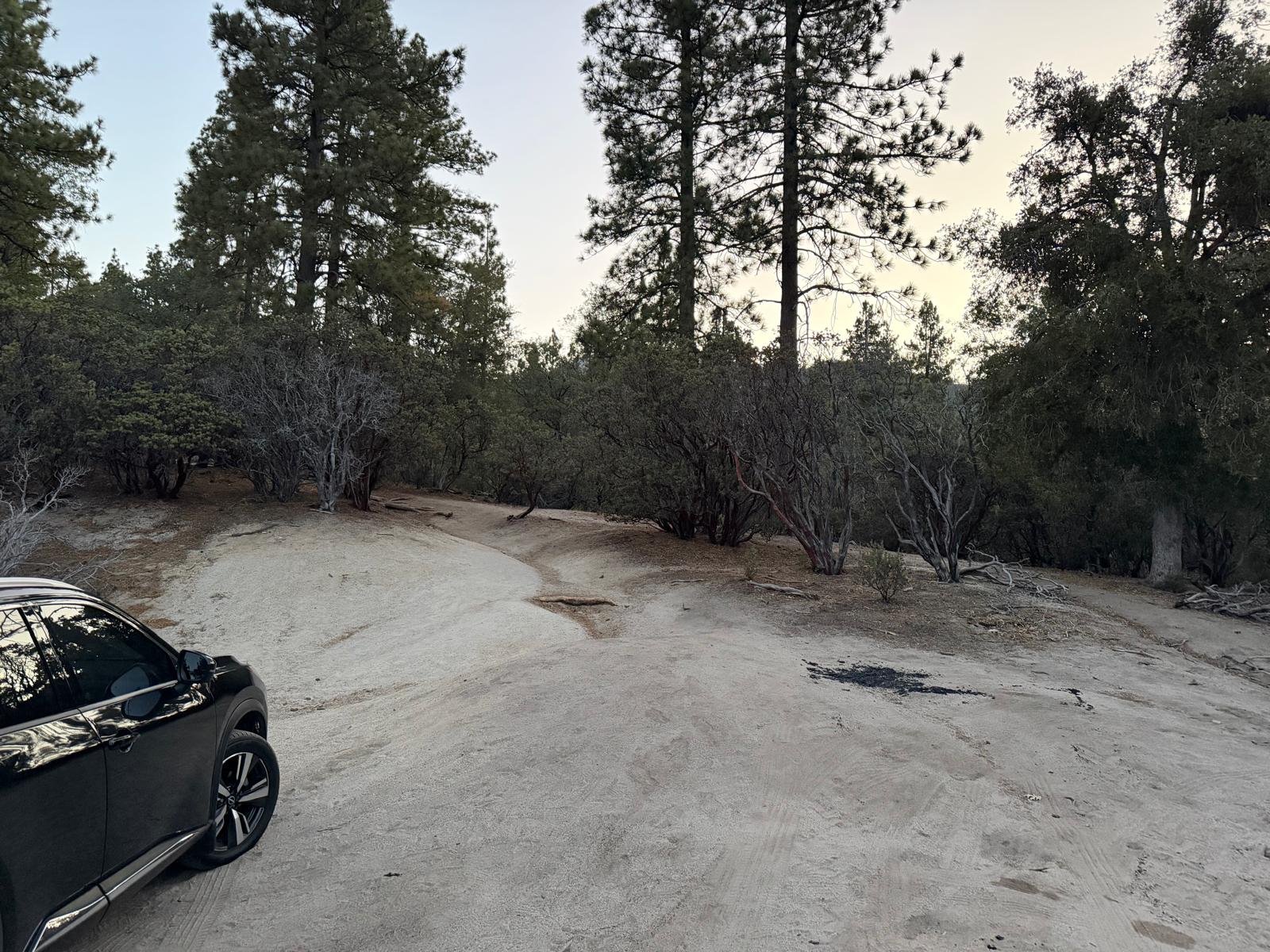
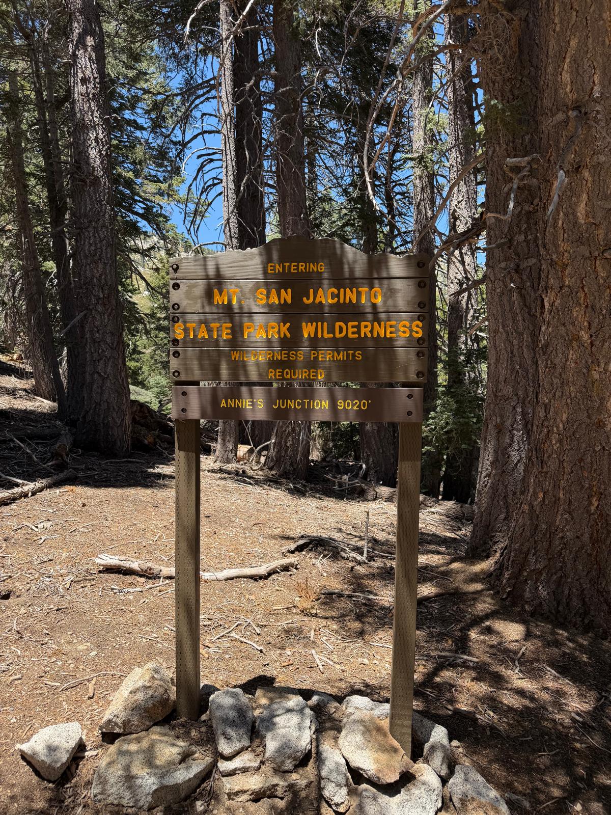
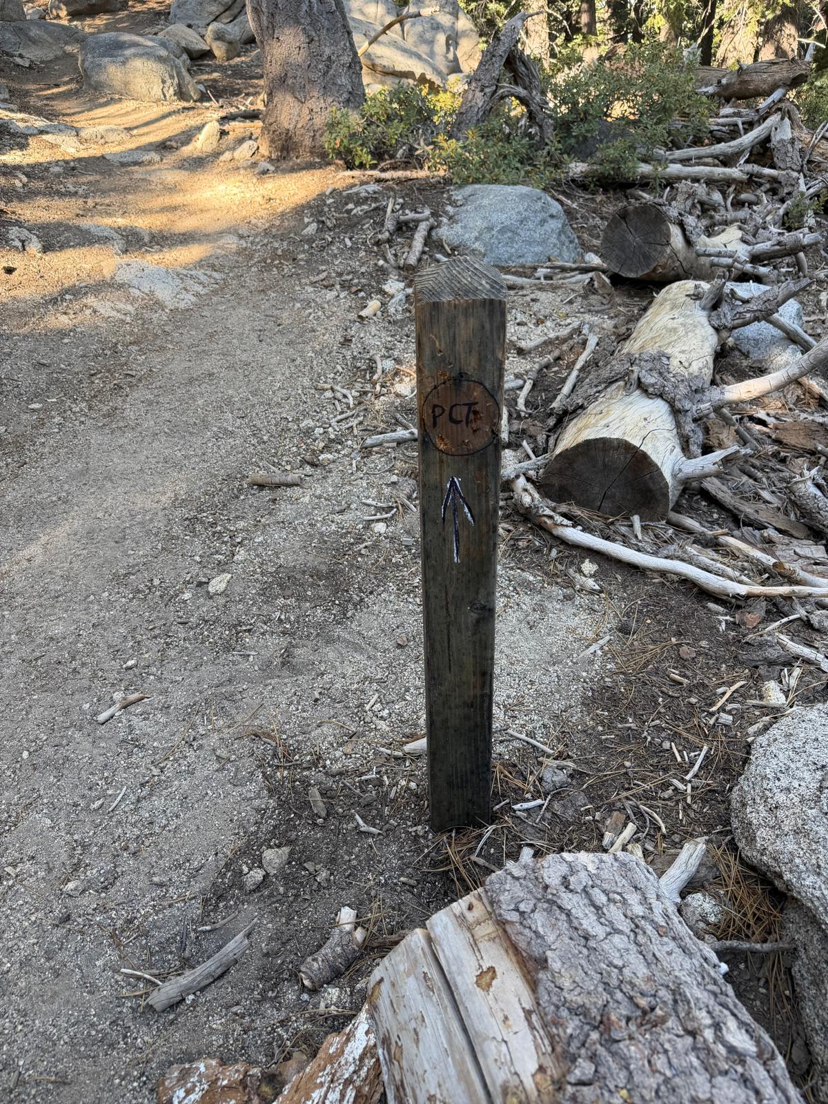
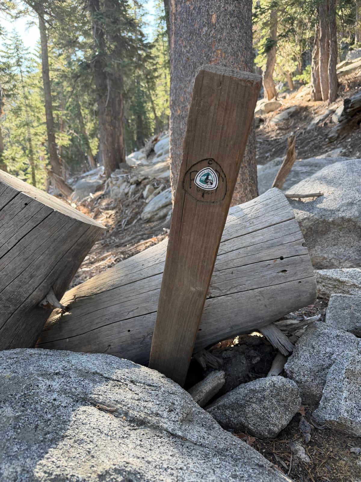
On a Friday night after work, I drove down, picked up my permit in Idyllwild (it's a QR code), and spent the night in the car at the Deer Springs trailhead. After about four hours of rest, I began the hike and the sun was starting to come up. It's a long trail, but enjoyable the whole way. A world of difference from my experience on Gorgonio.
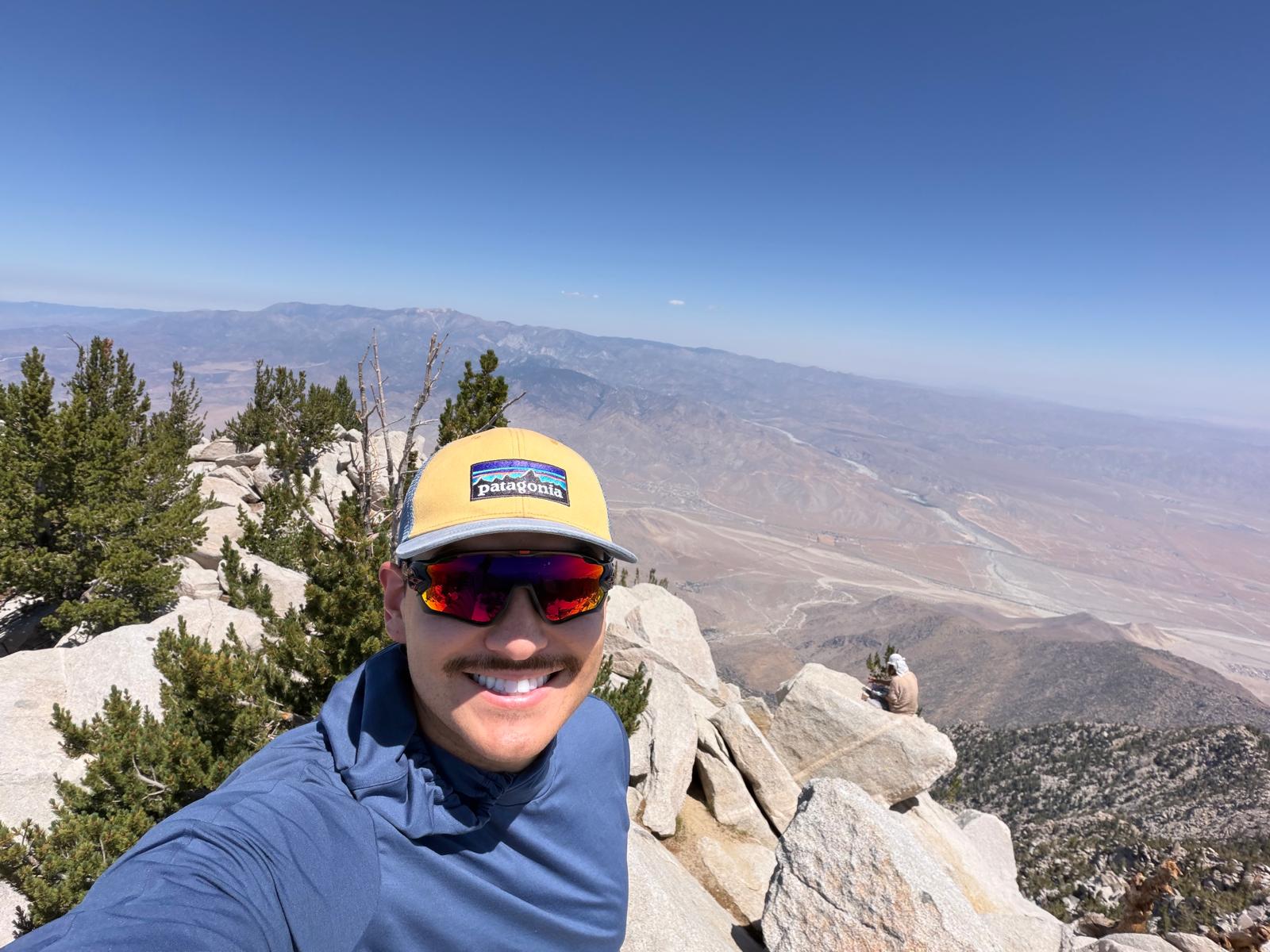
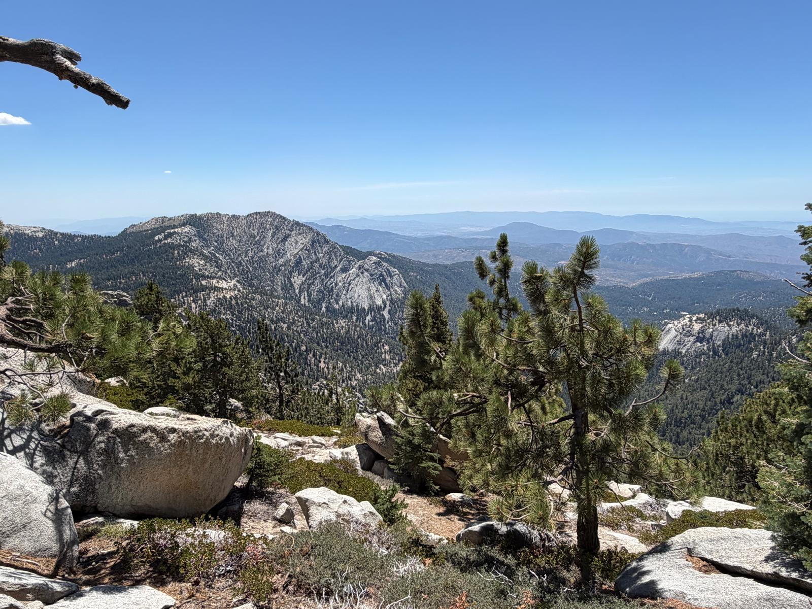
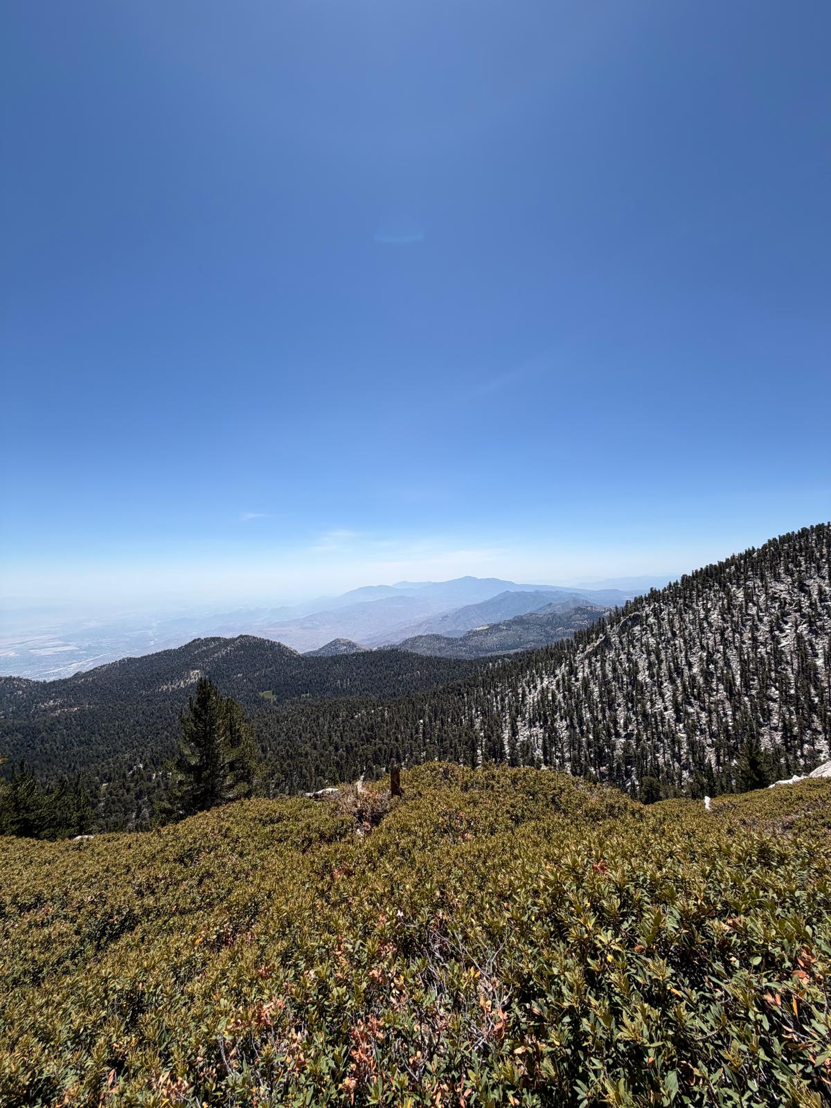
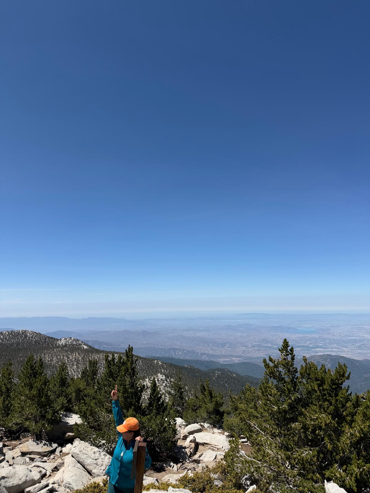
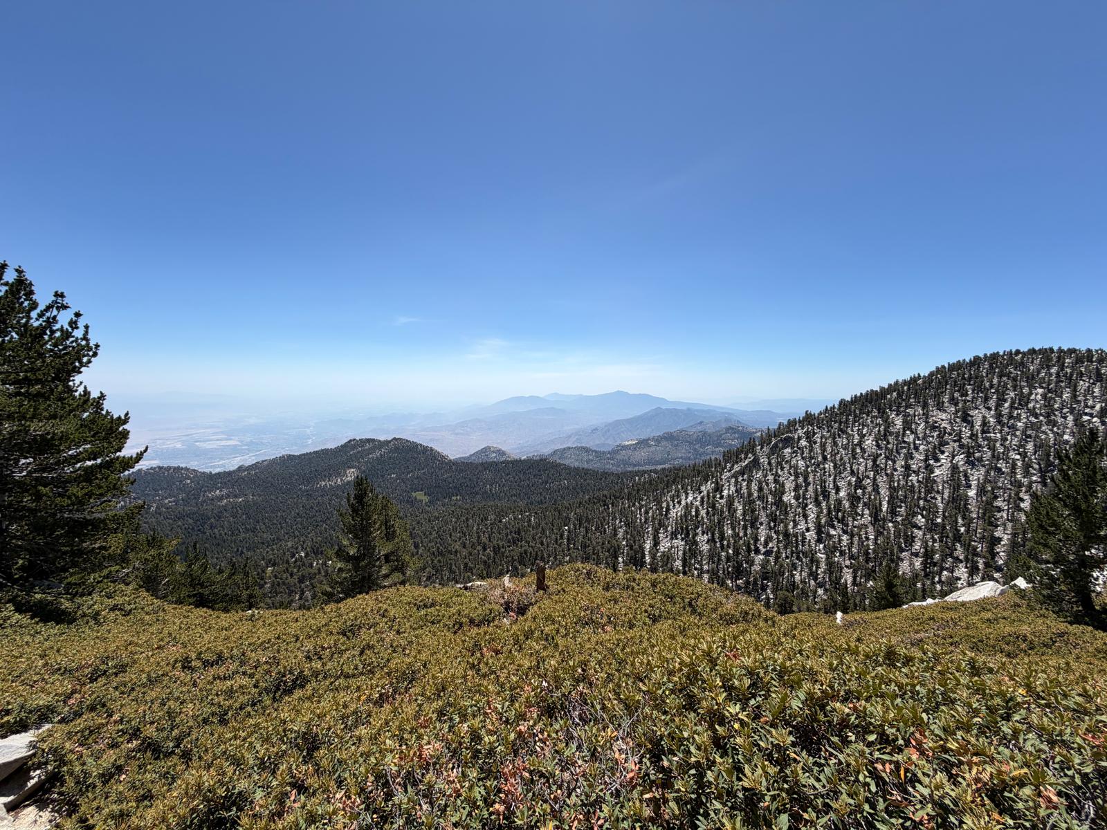
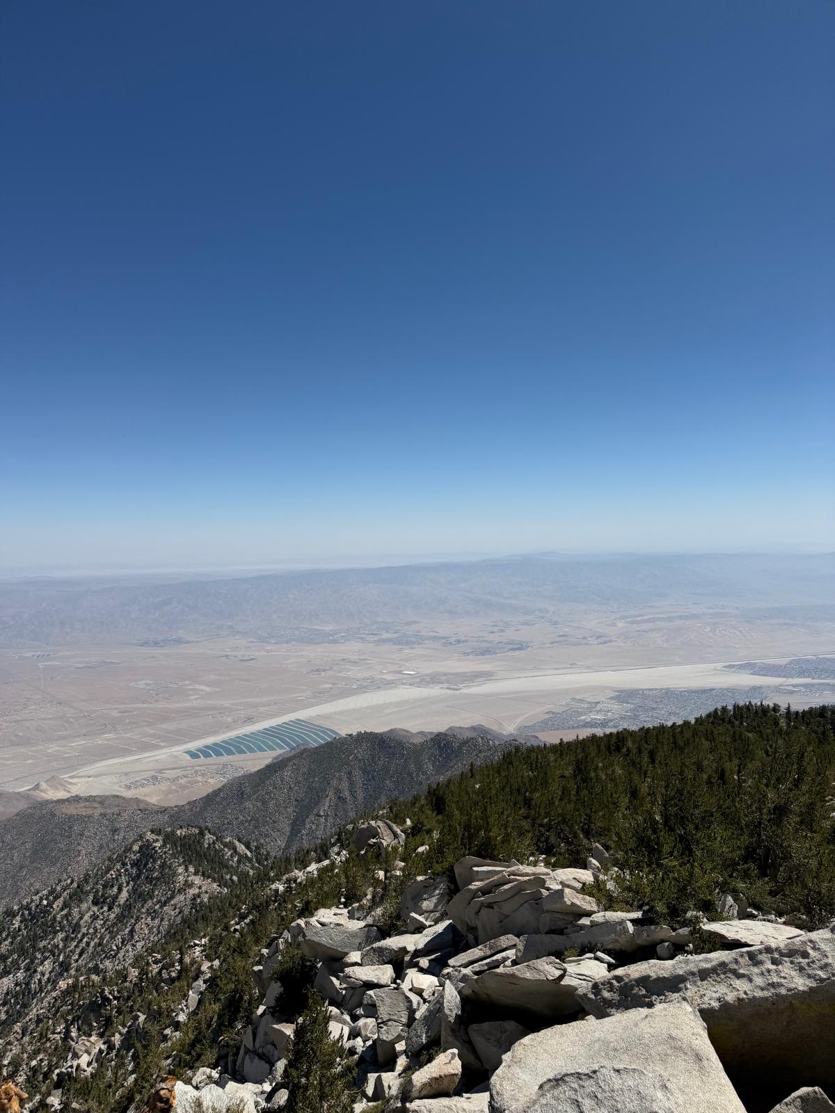
The summit is the headline. The view from the top is one of the most mesmerizing I've had in Southern California so far. The desert floor sits almost two miles below, and on a clear day the whole of Southern California turns around you. You can see Gorgonio in the distance, but to me the most stunning aspect of this summit is how stark the elevation difference is between you and the Coachella Valley floor. I highly recommend this one. If you can't hike it, take the tram.
I'll be back for Cactus to Clouds.