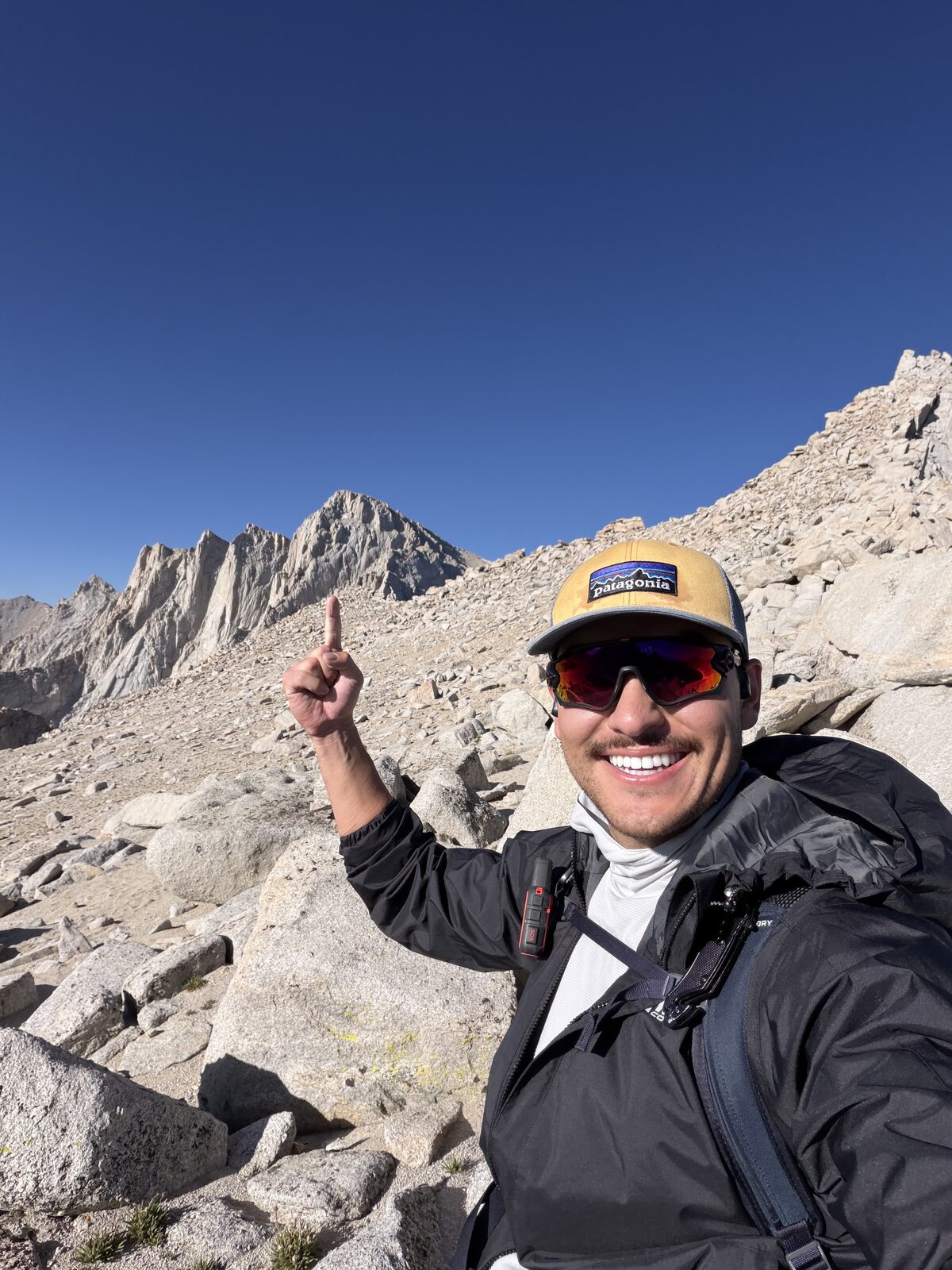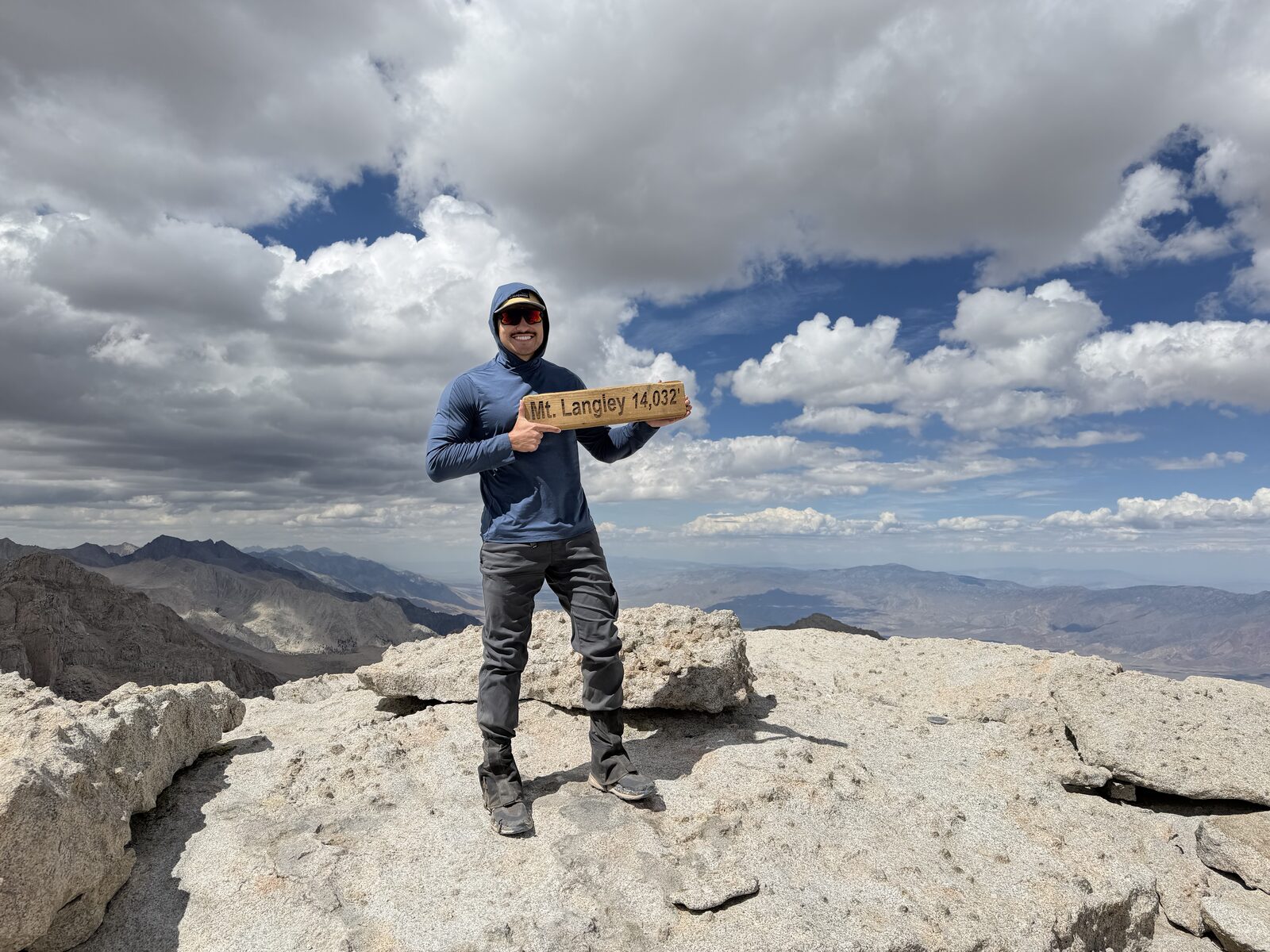
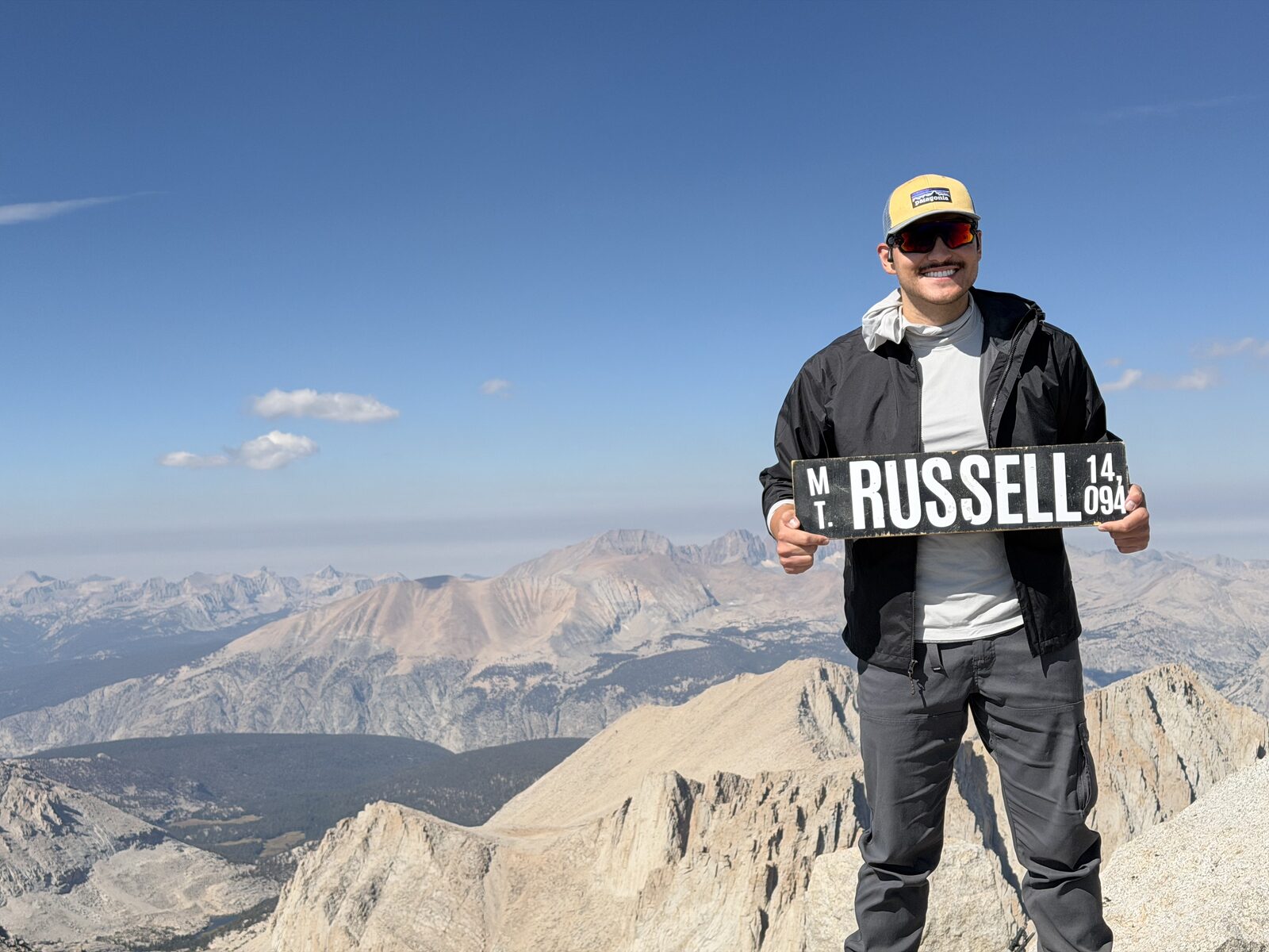
August 20 to 22, 2026 · Cottonwood Lakes to Whitney Portal · two summits, solo. Peaks 3 and 4 of 15.
After work on a Thursday, I made the drive up north to spend the night in my car at the Cottonwood Lakes trailhead. I had taken the day off of work on Friday so I'd have two full days to complete these summits and then have time on Sunday to recover.
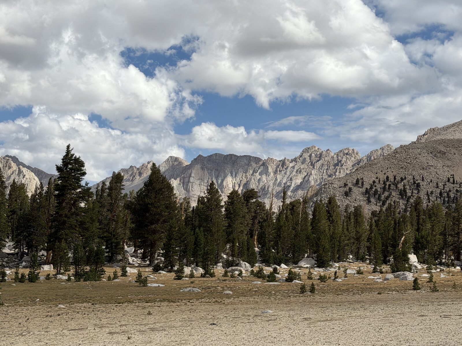
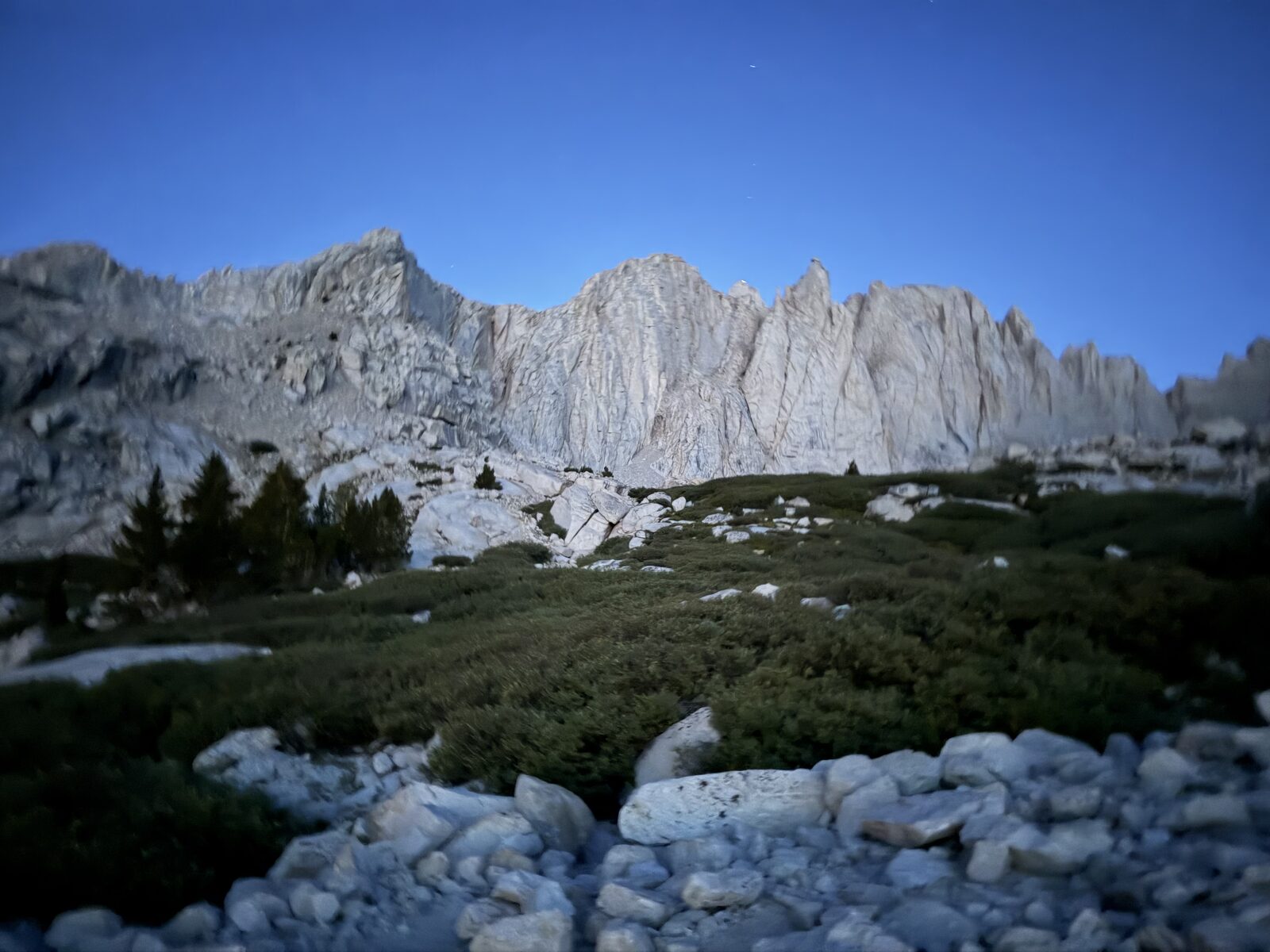
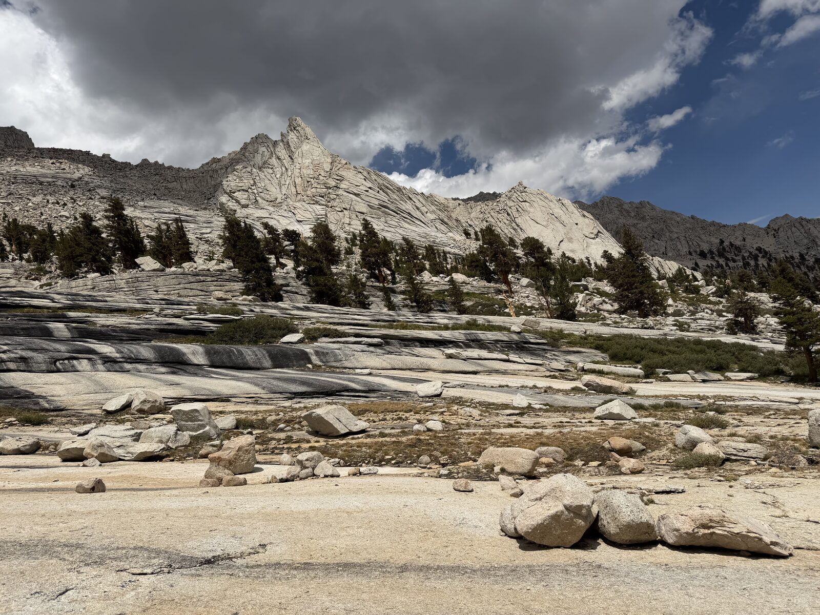
The plan was to start much earlier than I actually did. Driving into the parking lot, I saw a bunch of the active bear area signs, so that had gotten into my head. After a short nap in my driver's seat, I got dressed and began my hike. It was pitch dark. About a mile and a half in, I could hear animals moving somewhere out past the parking area. Fear got the best of me, so I walked back to my car and I waited. When I finally started at 5:40 and it was light enough to see, the animals turned out to be horses. There is an equestrian center right there. In daylight the campground is genuinely beautiful, which I had no idea about in the dark.
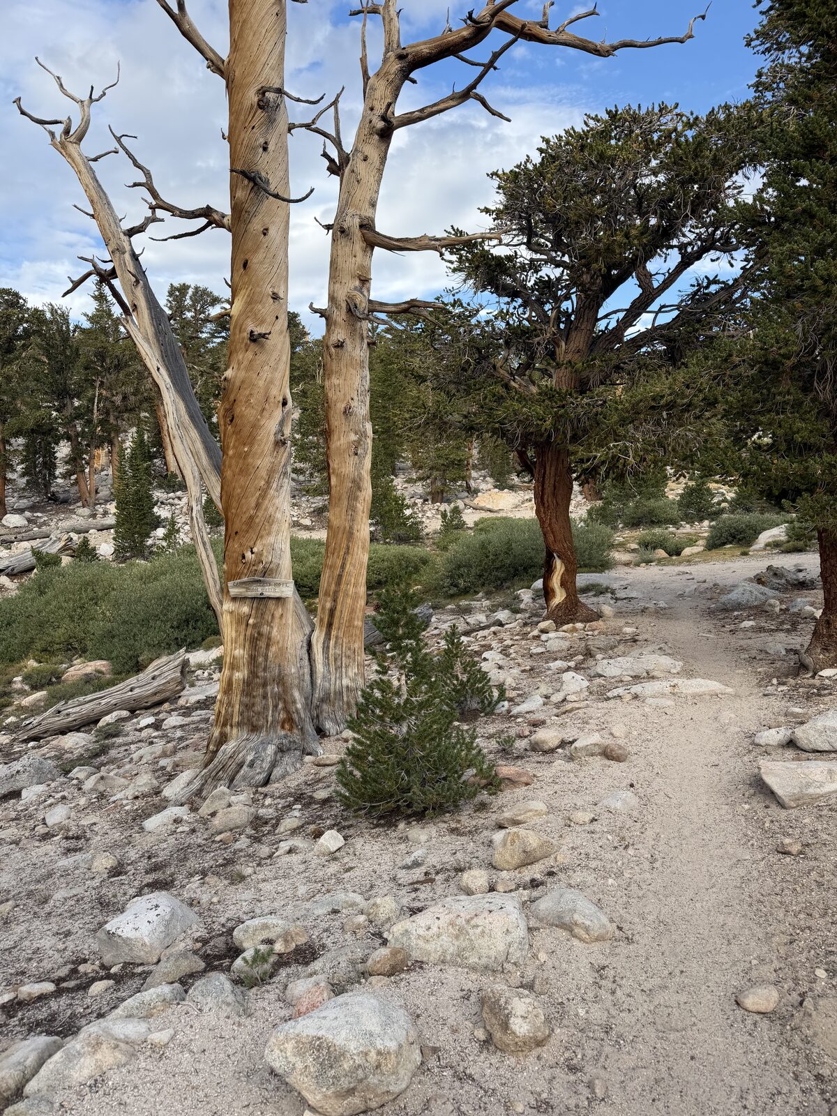
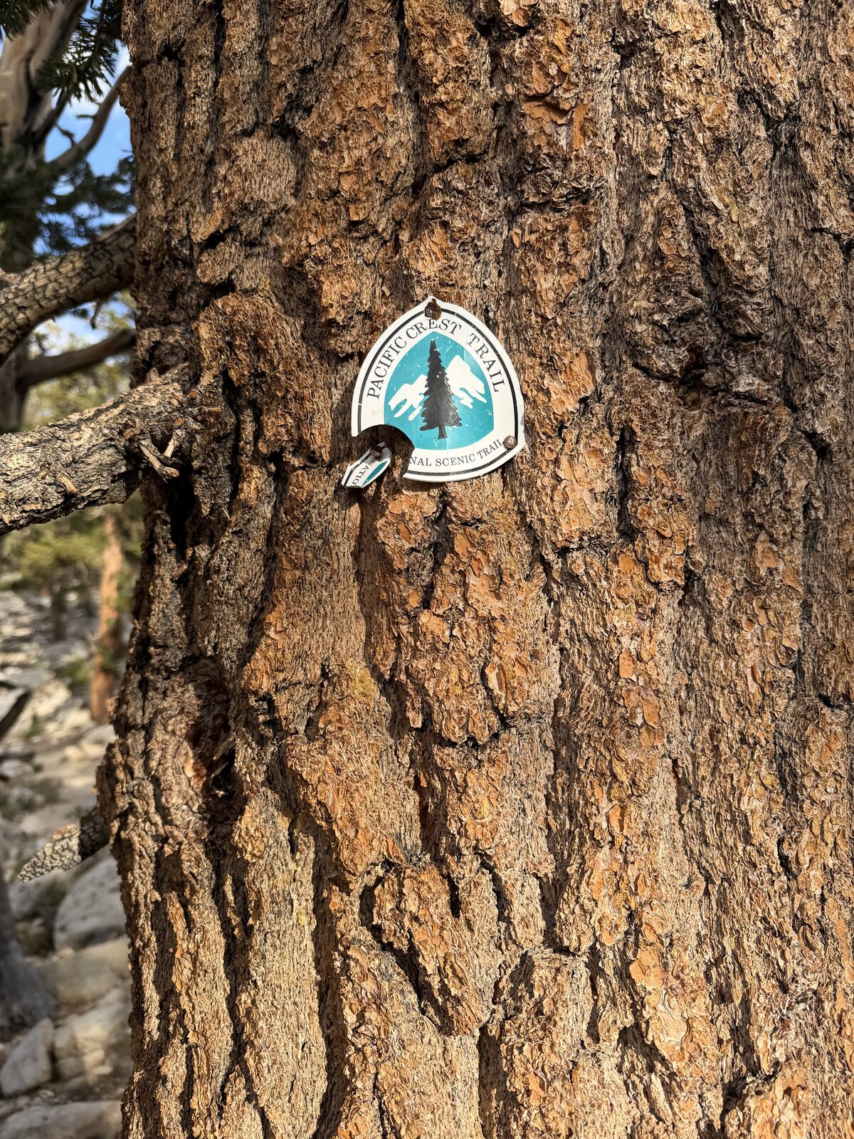
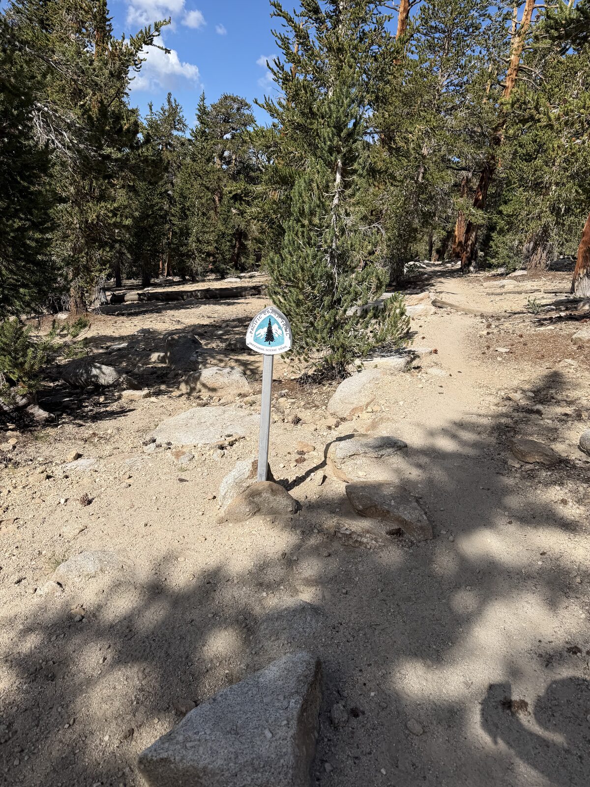
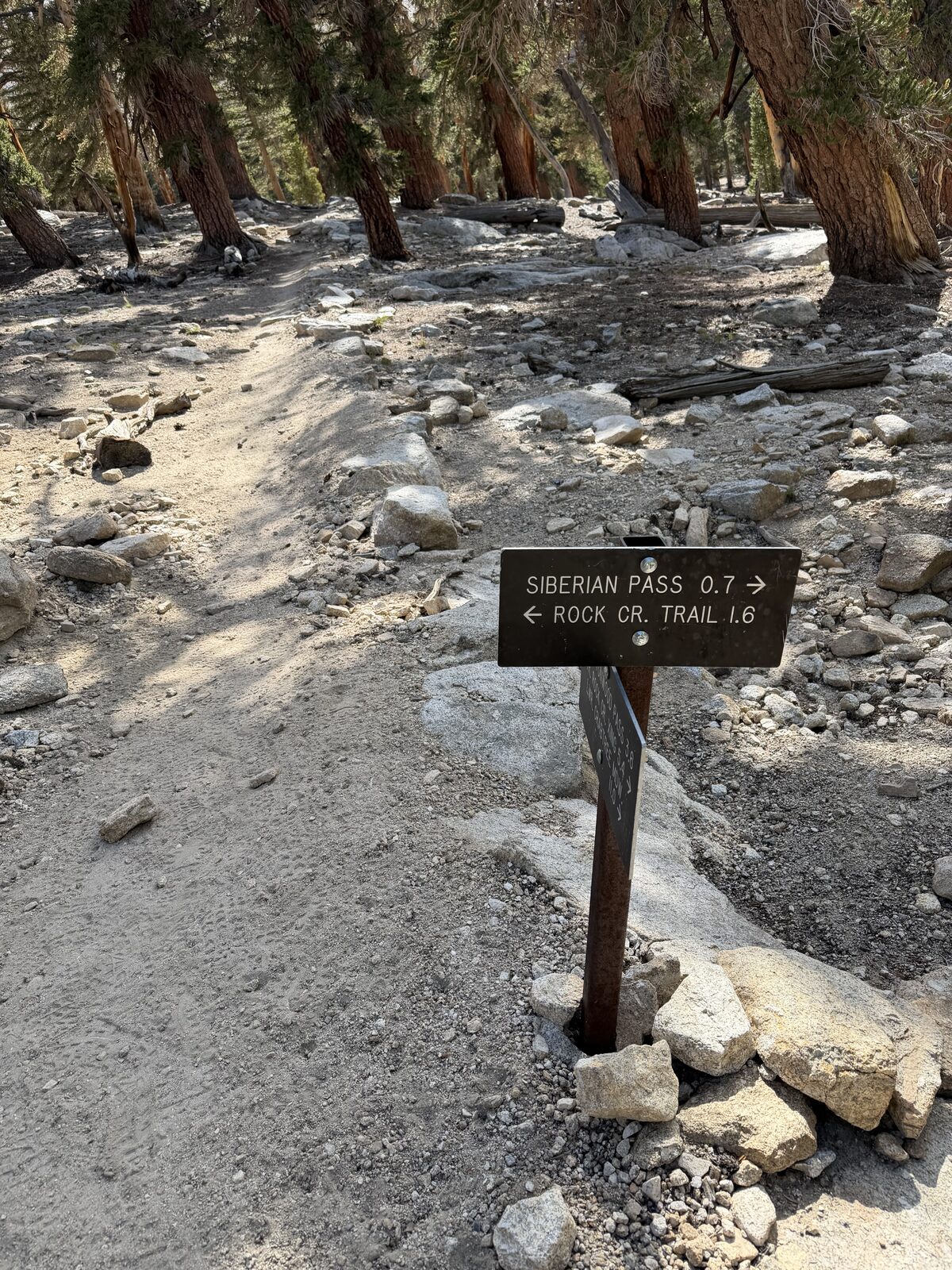
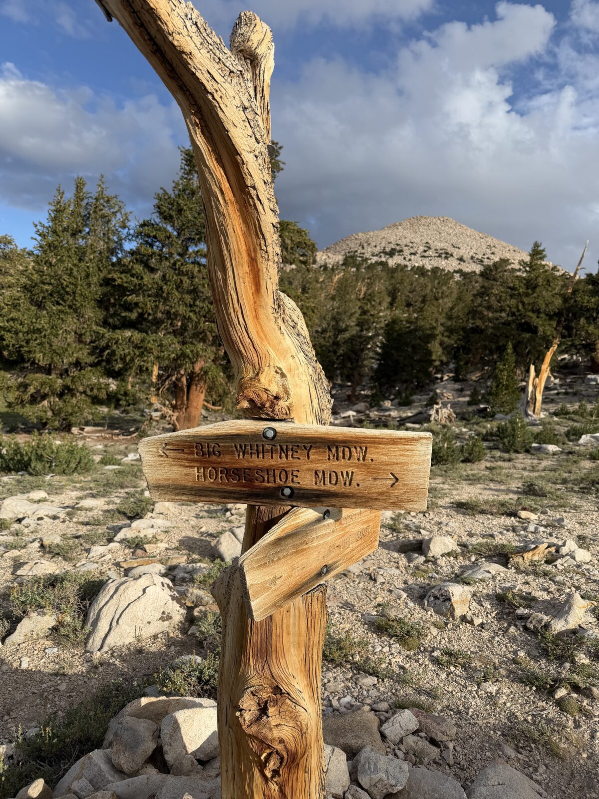
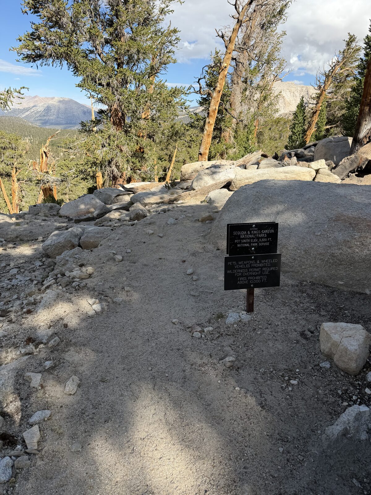
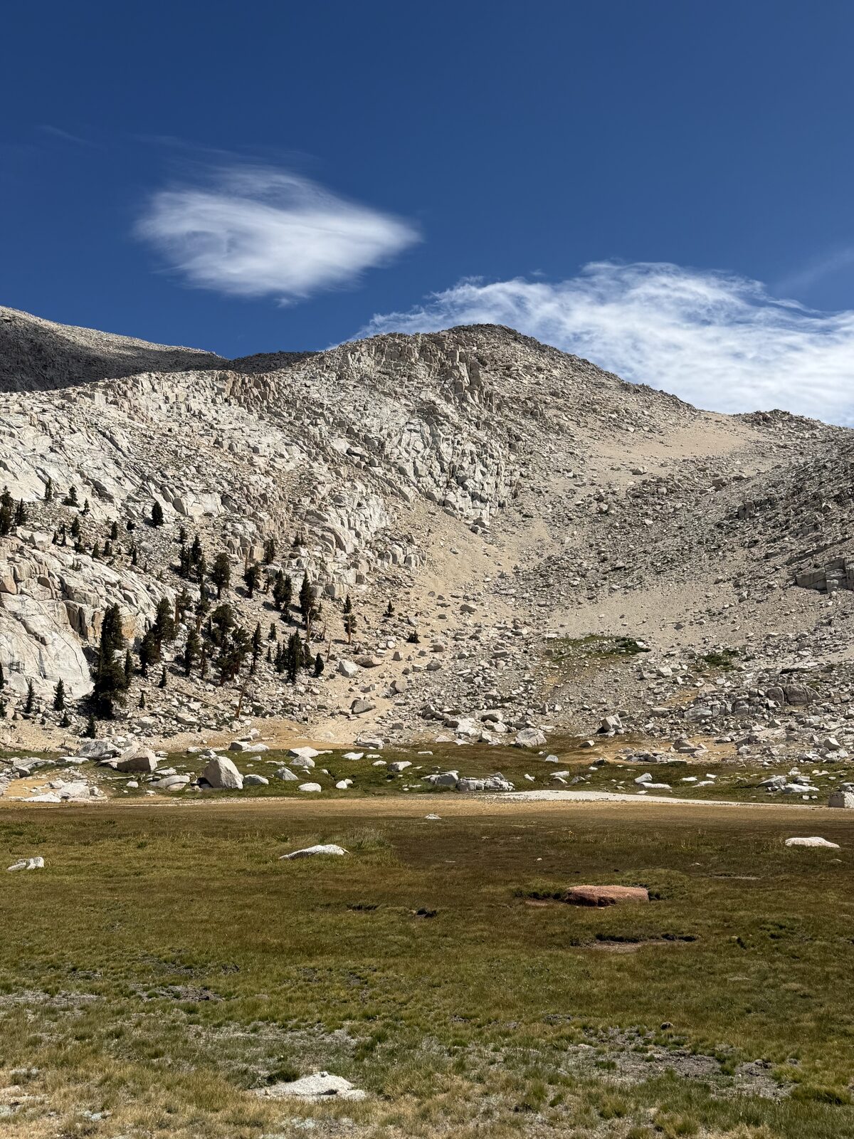
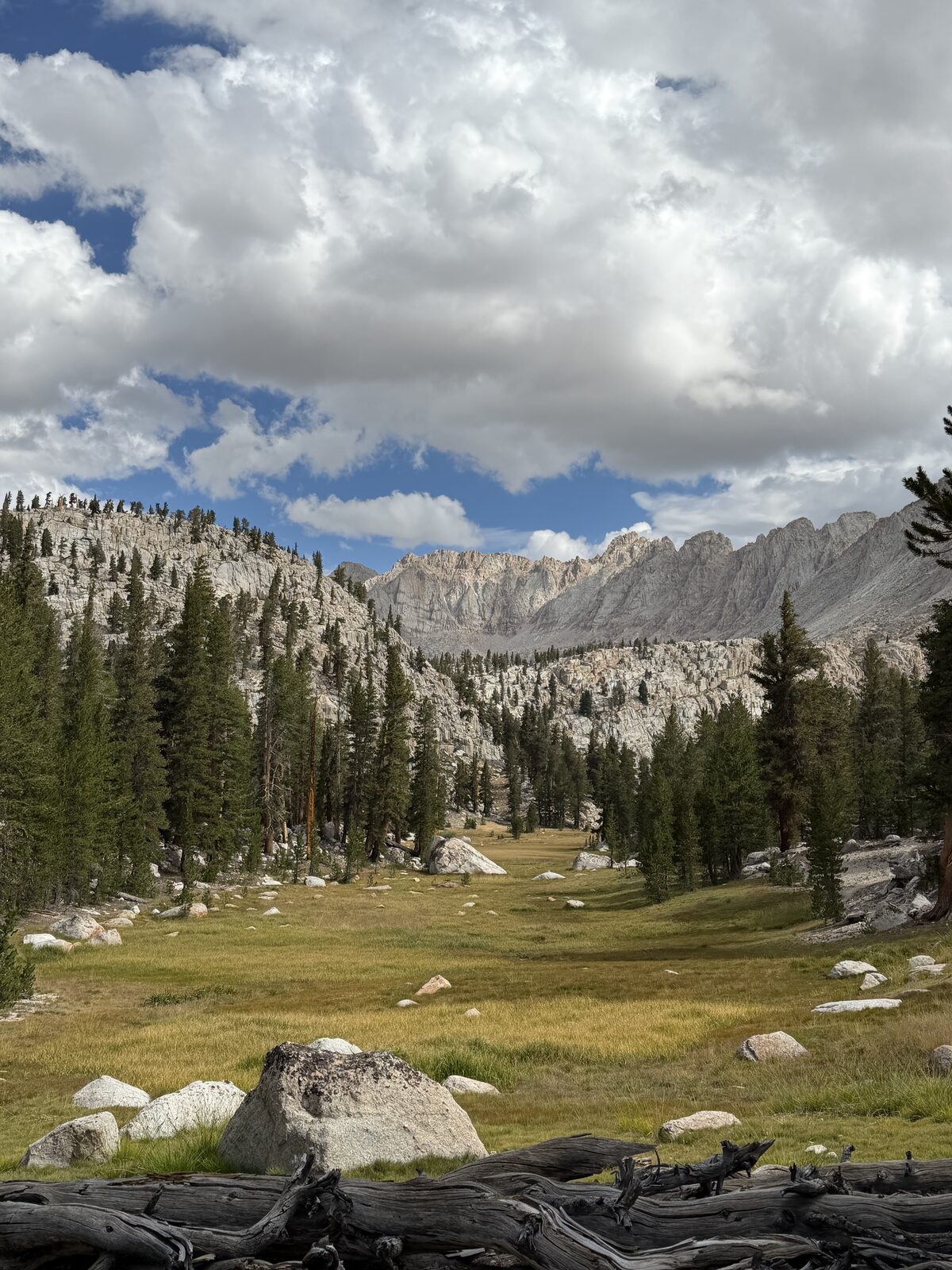
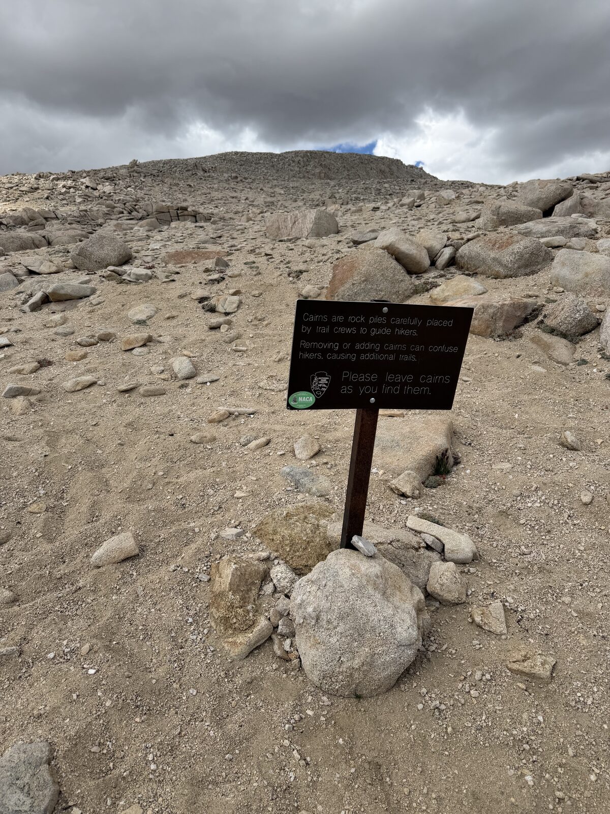
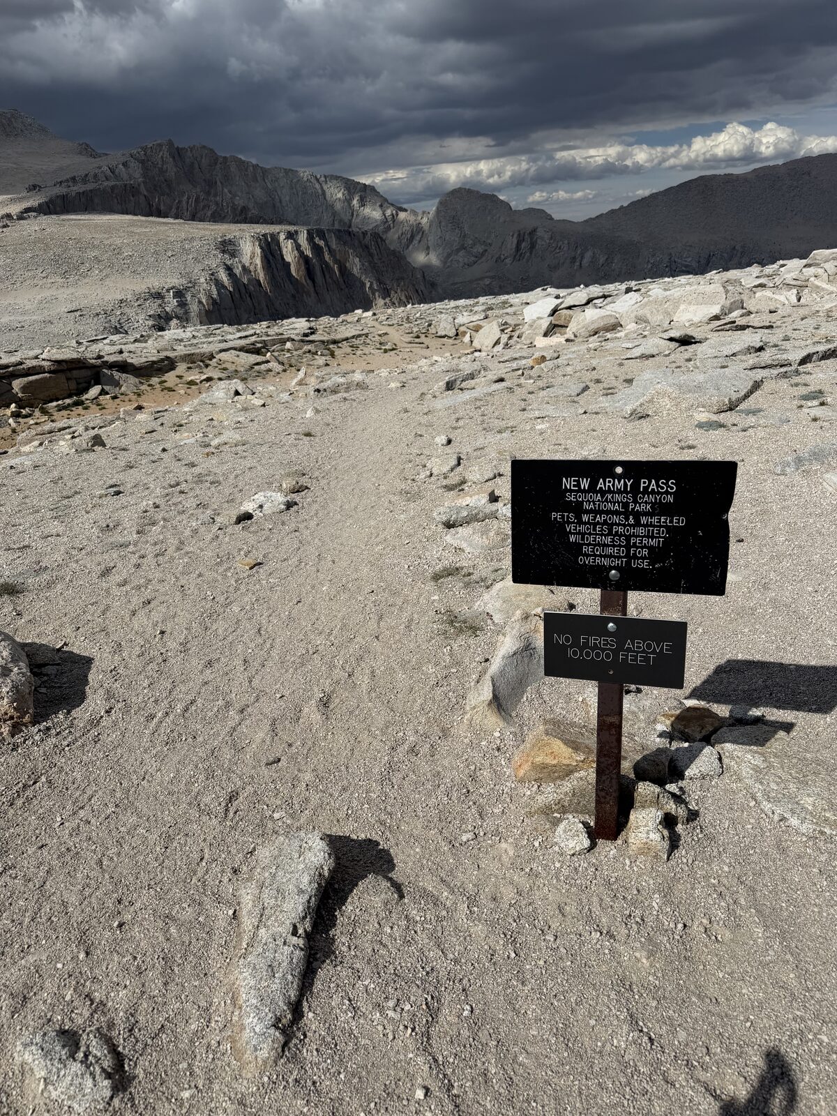
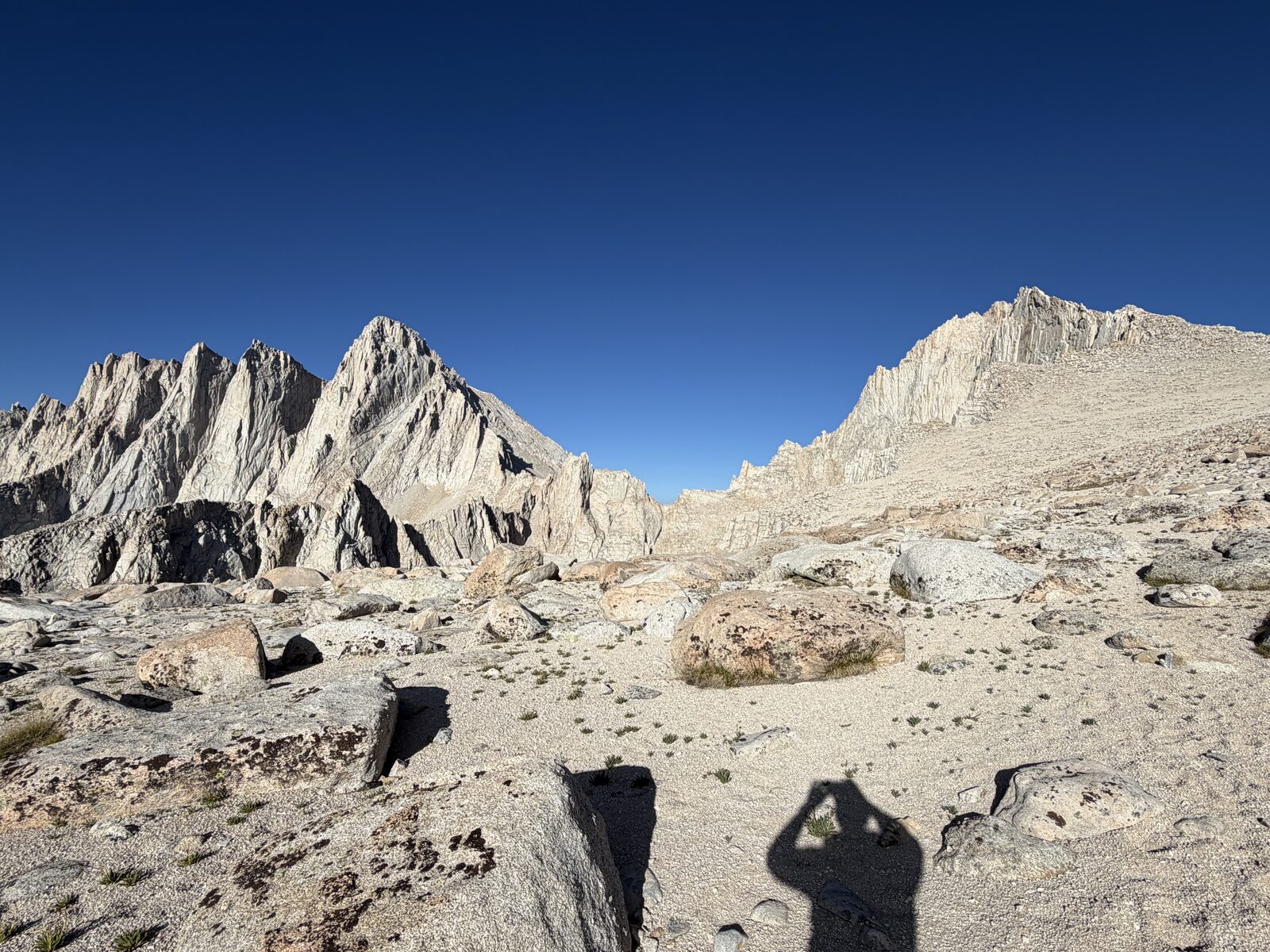
I didn't know it yet, but as soon as I began I made a costly navigational mistake. Instead of going up and back on New Army Pass, I went up Cottonwood Pass first which added at least three miles. It is a beautiful way to go, you touch the PCT, and the grade is gentle nearly the whole way. Gentle nearly the whole way is the problem, because all the climbing you skipped is waiting at the end. Somewhere between two and three thousand feet in under two miles, all of it scree. Slow, and demoralizing, and my spirits were at their lowest right there.
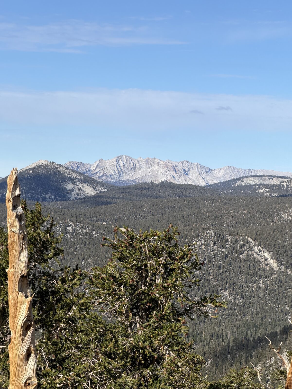
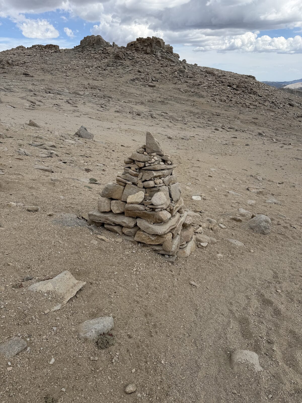
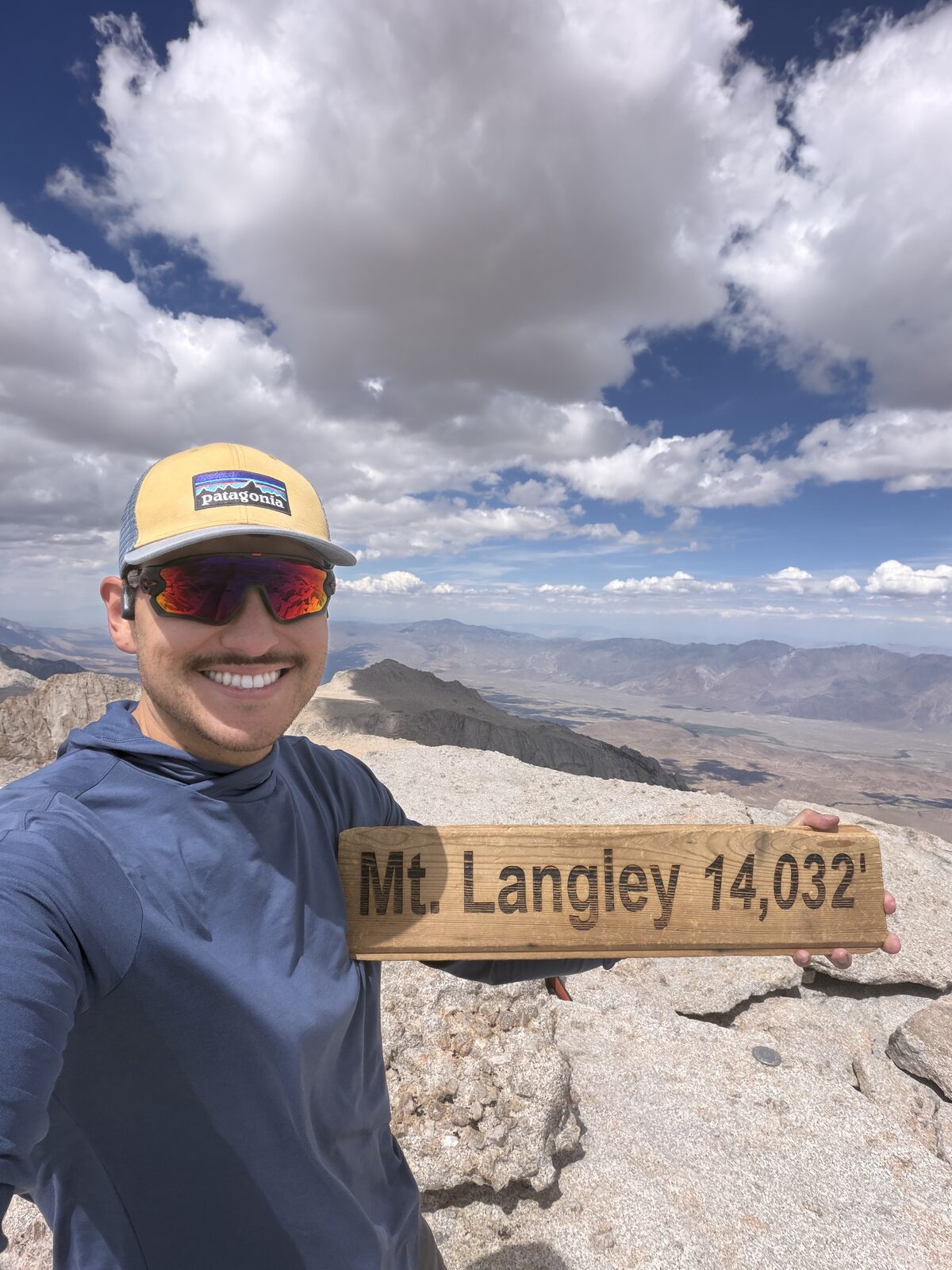
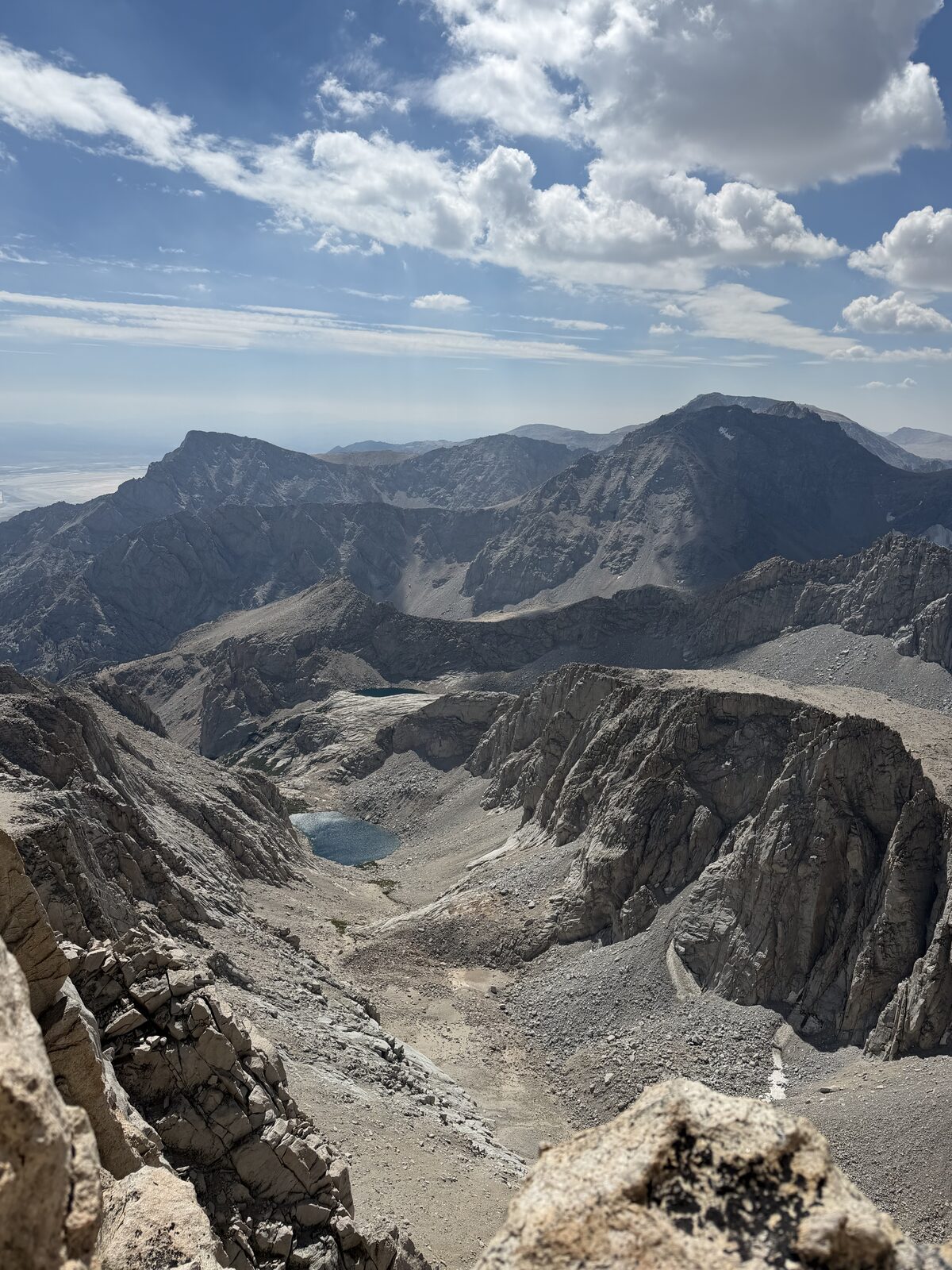
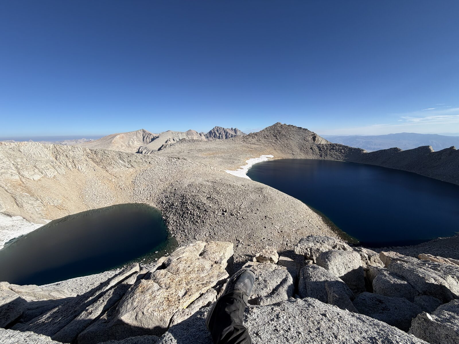
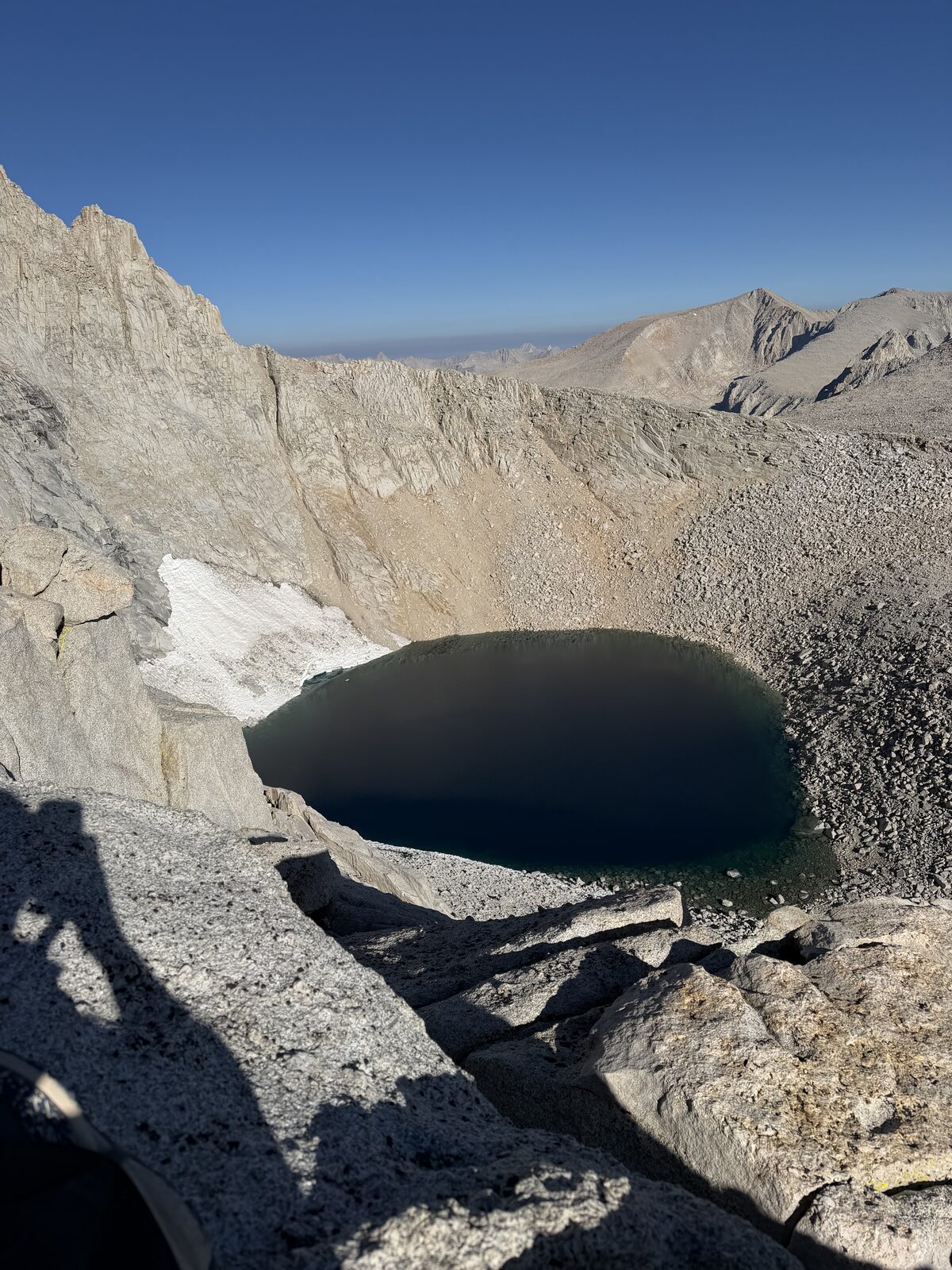
Though, the summit pays for it. Whitney stands out in the distance with a run of other peaks beside it, Sequoia sits behind you, and Lone Pine and Death Valley open up on the other side. The top is enormous. I saw three other guys up there and had it to myself for a good while.
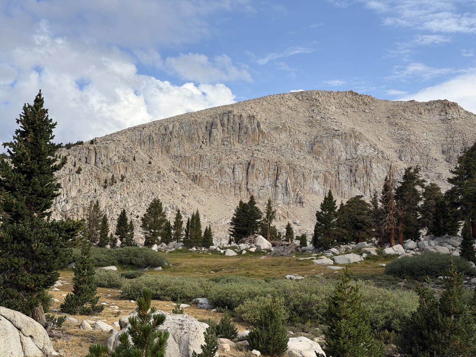
Two things worth knowing. You pass fresh water constantly, so there is no reason to carry a heavy load. Although this could be dependent on the season. And New Army Pass is every bit as pretty as the way I came, with High Lake and Long Lake as the standouts and obvious places to camp if you would rather split this into two days.
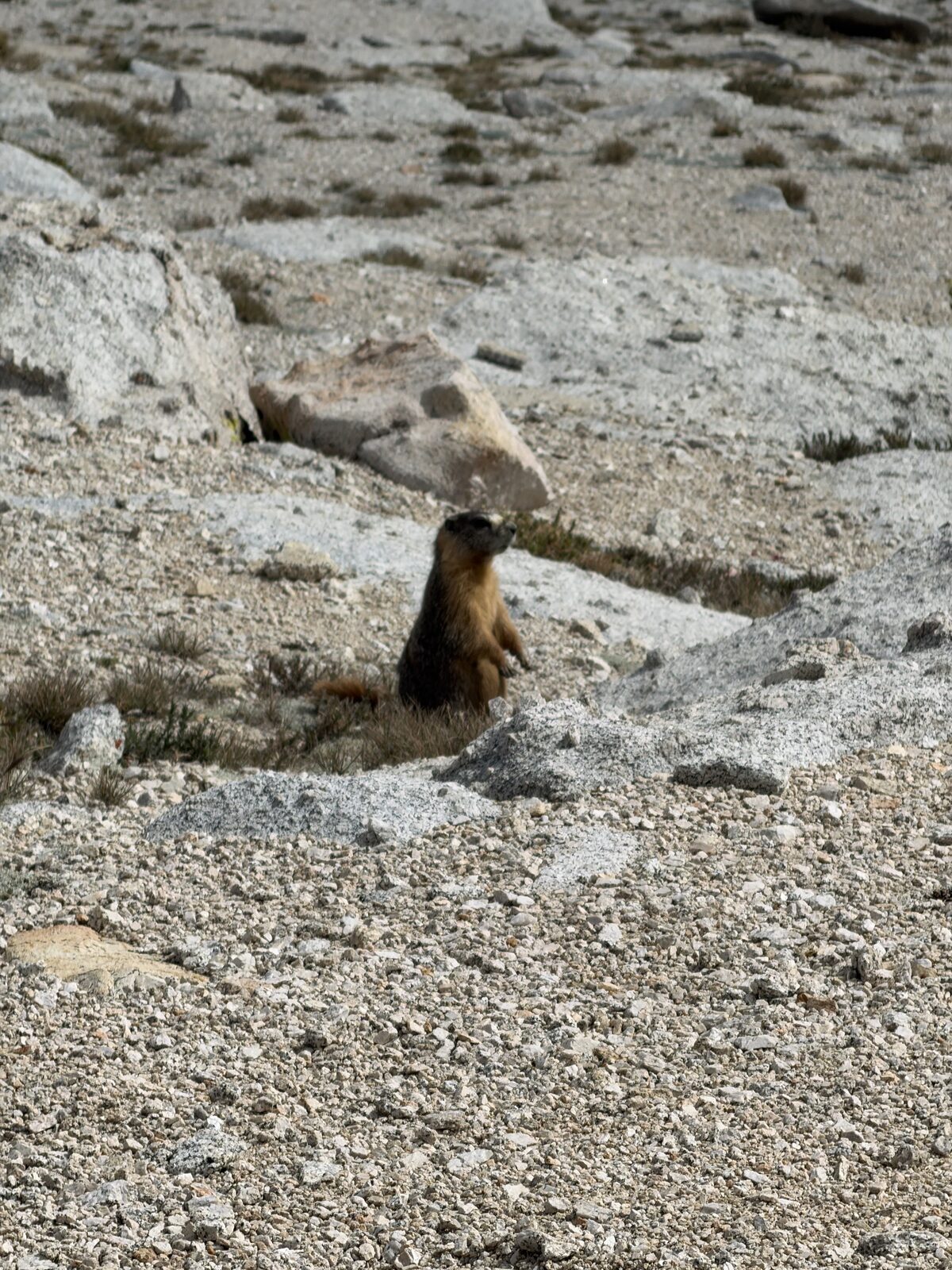
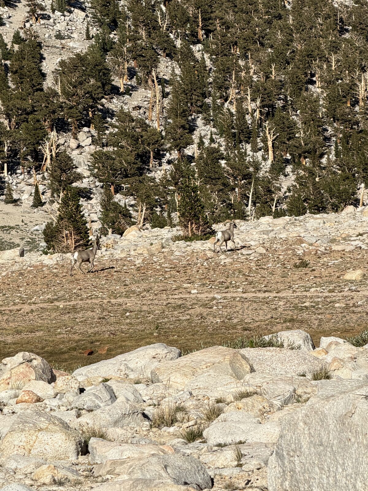
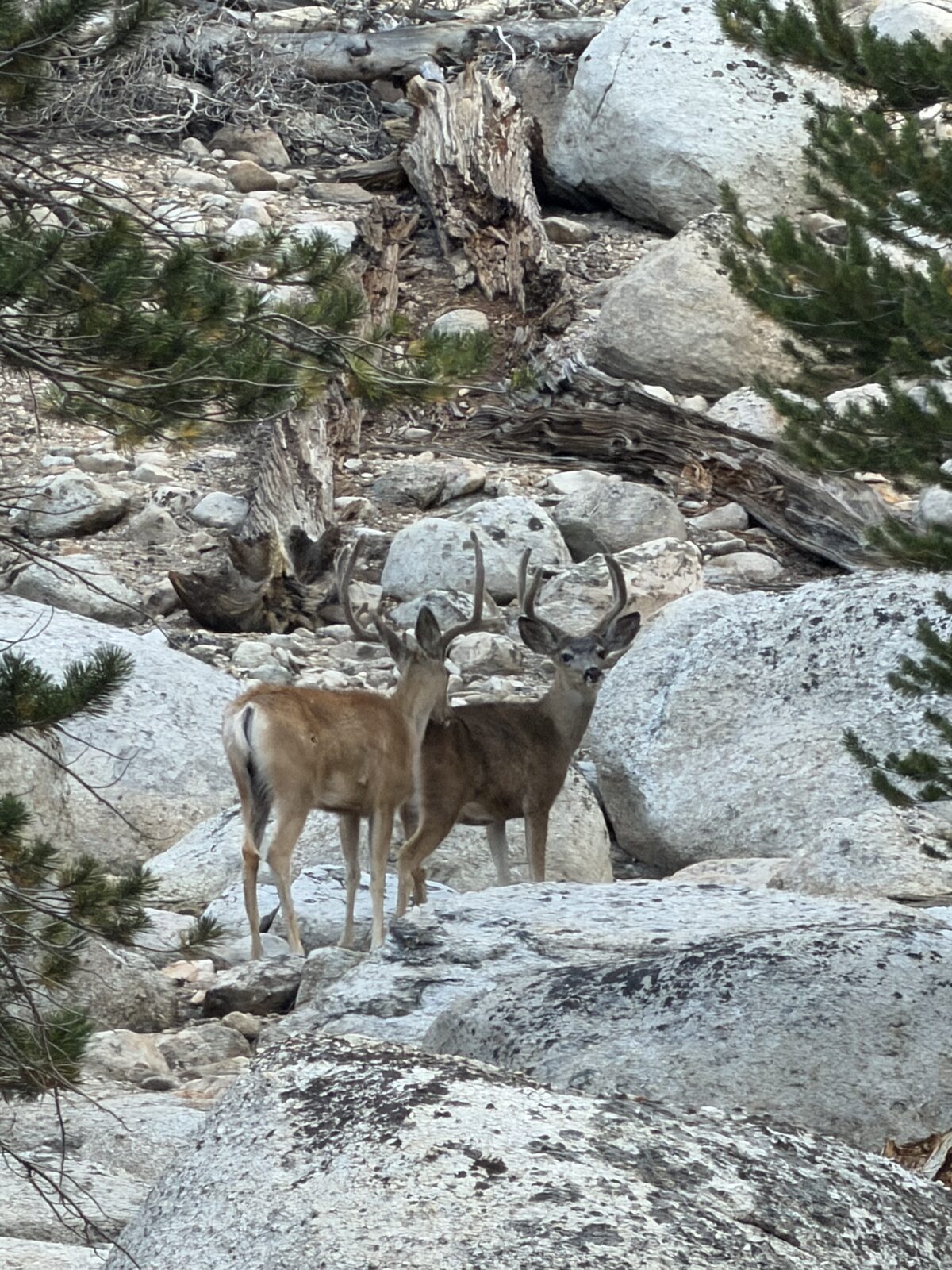
The wildlife was the best I have had on any hike. Fat marmots loading up for hibernation, an owl in the morning dark, a pair of bighorn sheep, and two separate pairs of deer.
I finished around 7 p.m., hours later than I meant to. I made a quick trip down to Lone Pine for a meal, then made my way back up to Whitney Portal to sleep.
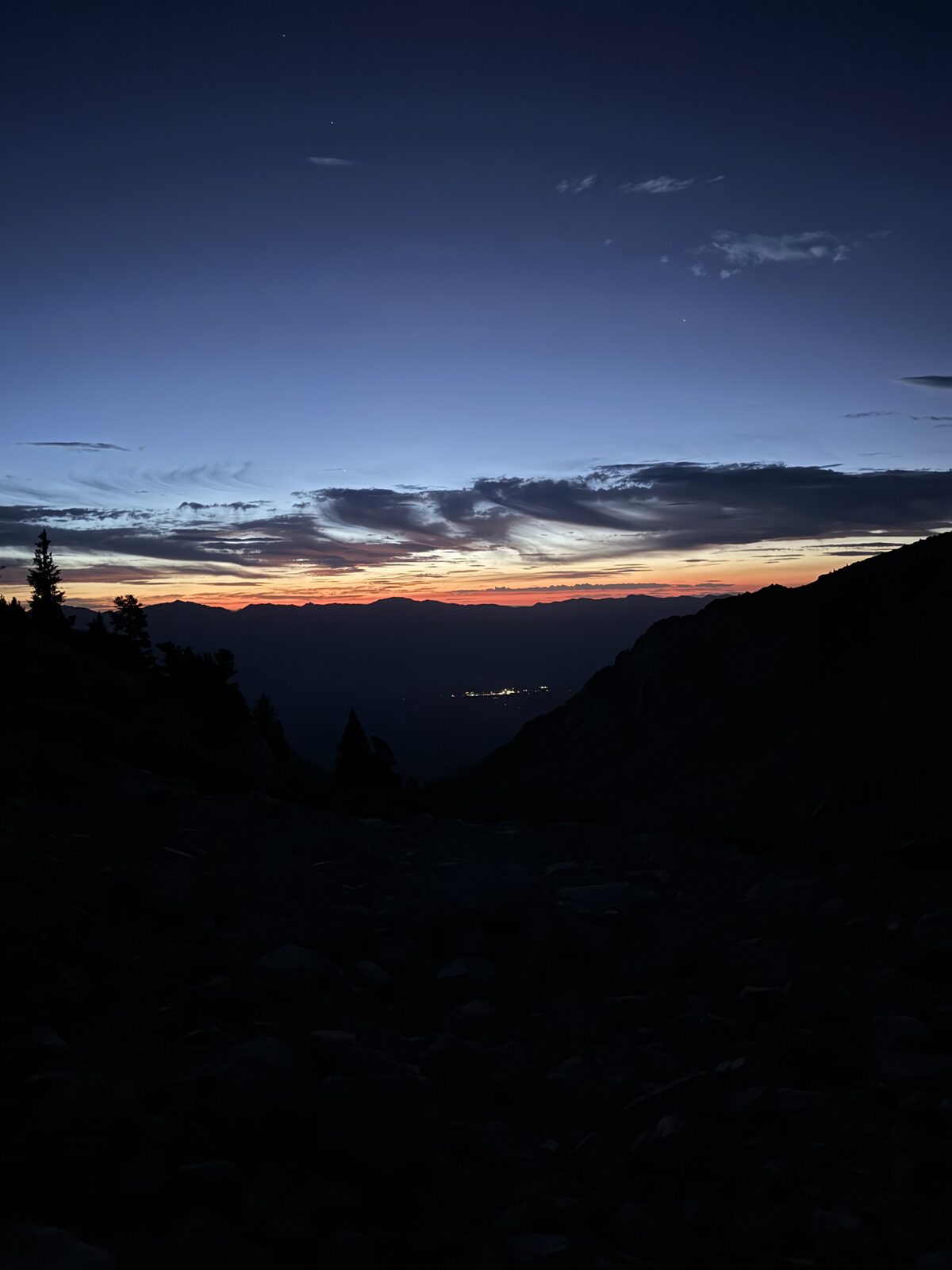
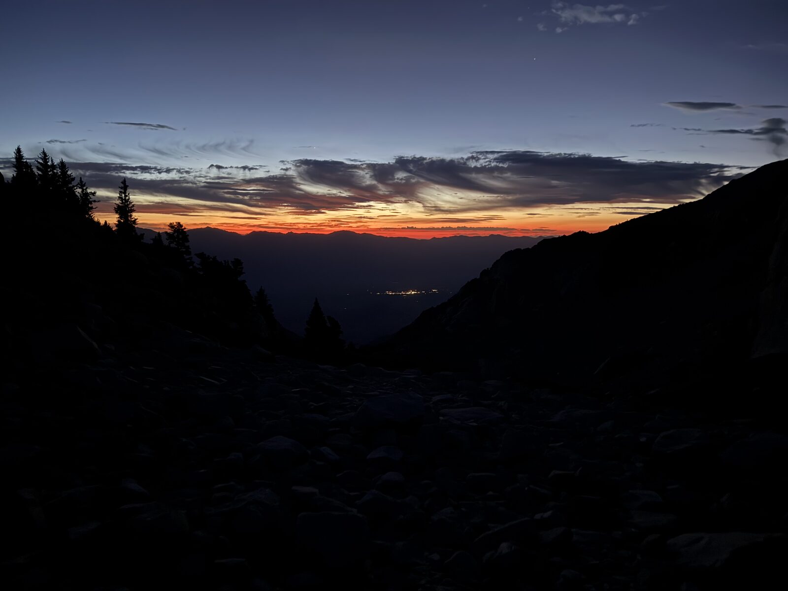
After about three and a half hours of rest, I awoke and started my way on the Whitney trail at around 2:40 a.m. Up until this point, I was not sure if I wanted to do both Whitney and Russell or just Russell. Since I did Whitney two weeks prior, I determined that Russell was the priority. About 20 minutes (.88 miles & 460 feet of gain) in, I diverted up the North Fork. The weather was lovely, the sky was clear, and the stars were incredible.
Where the North Fork splits, one way toward Whitney via the Mountaineer's Route and the other toward Russell, it stops being a hike. The grade becomes dramatic and the ground is nothing but a hellish scree landscape. You are lucky to make a mile an hour, and at that elevation you cannot simply decide to go faster. My slowest mile was 84 minutes.
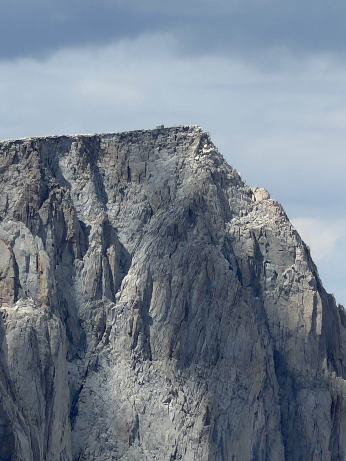
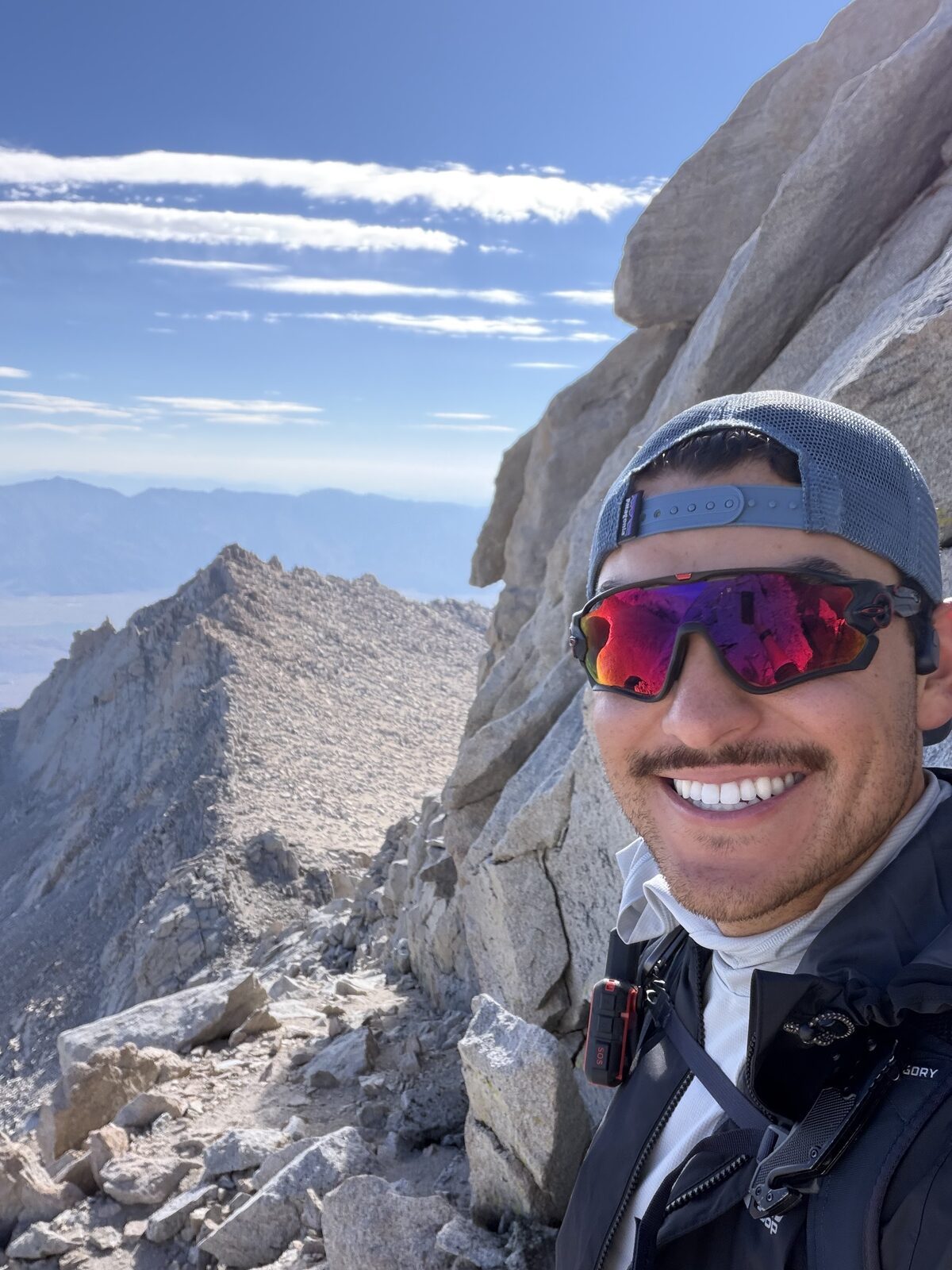
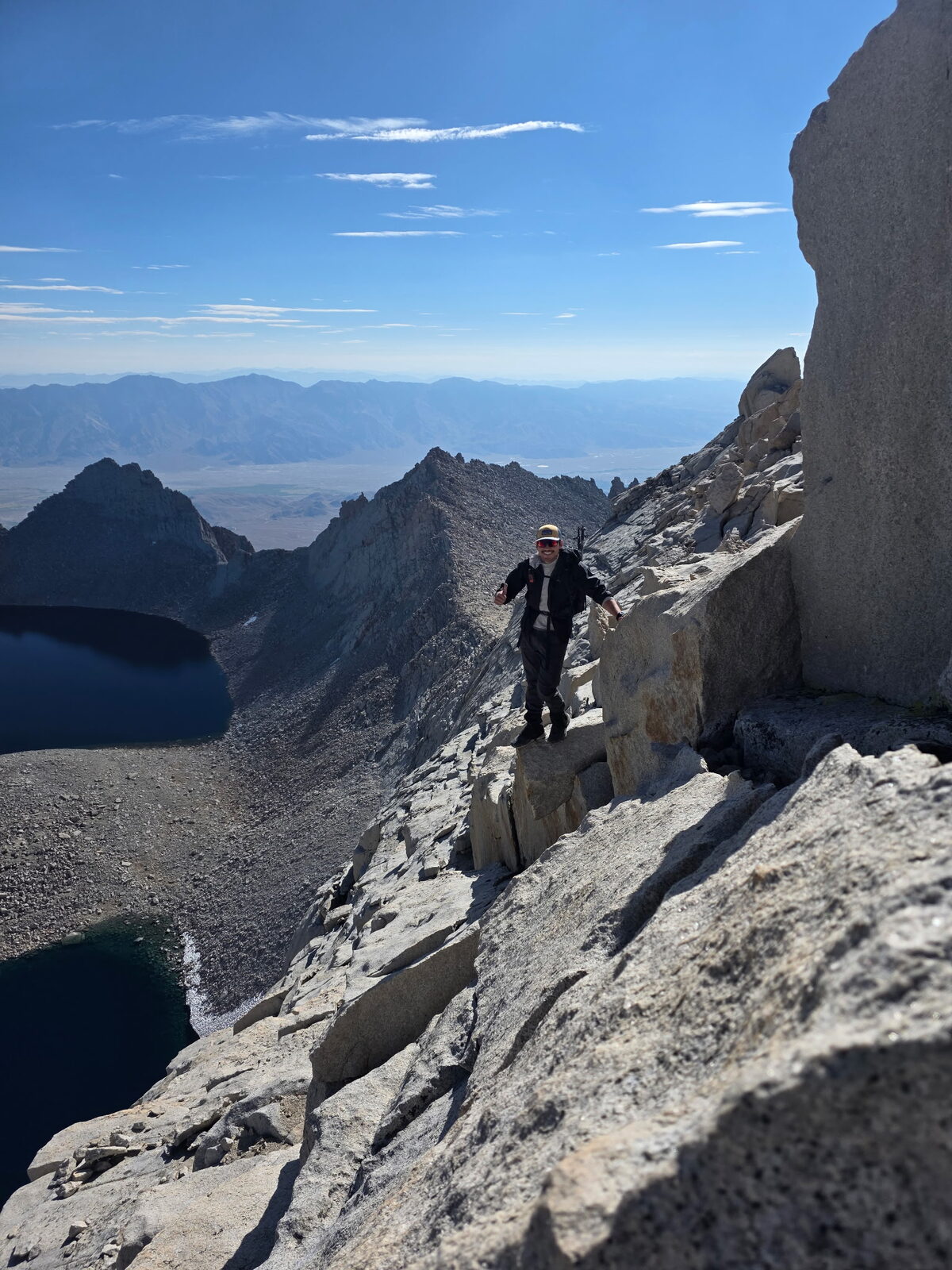
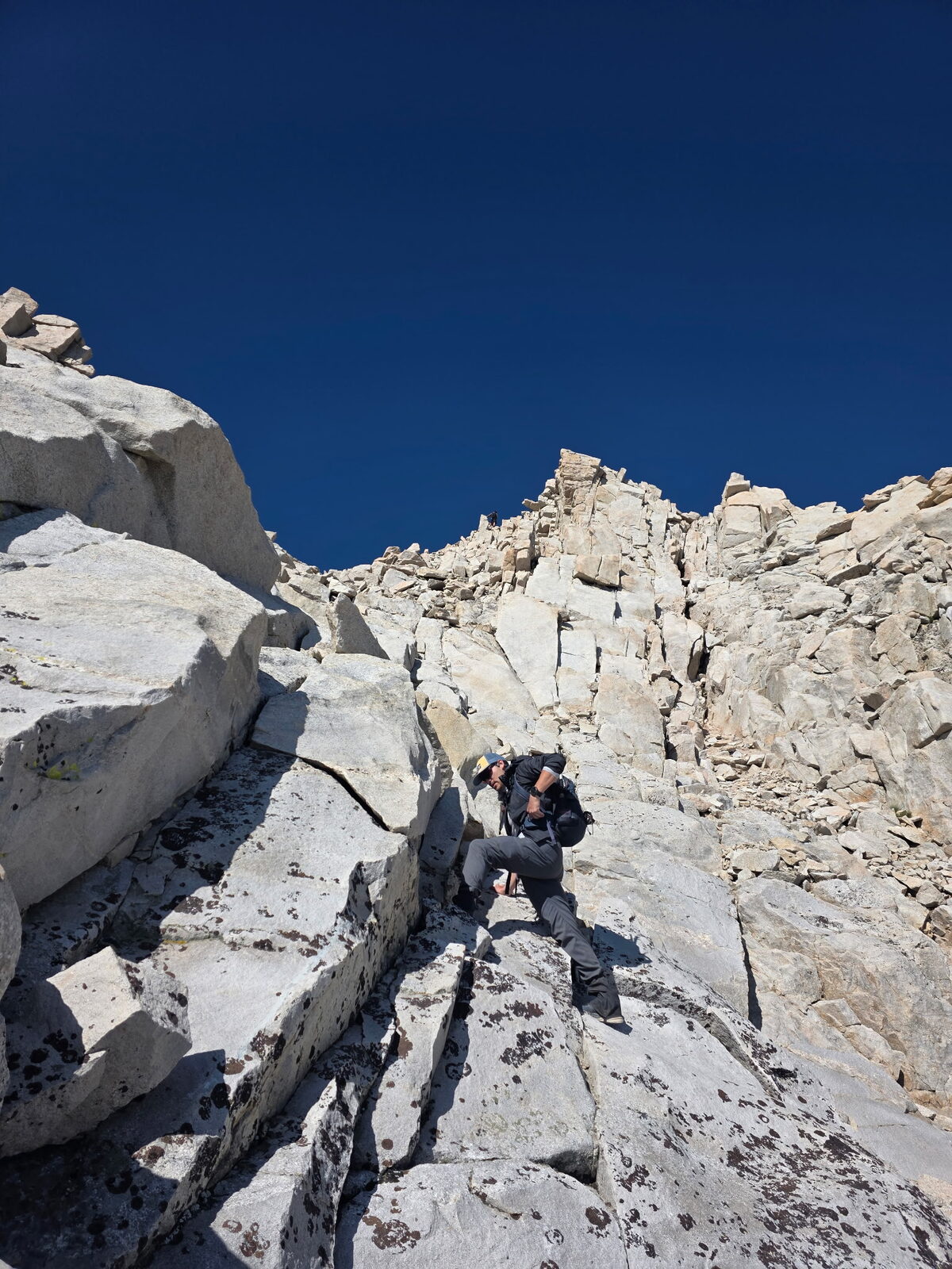
All of that is child's play until the traverse. Half a mile to three quarters of a mile of knife-edge ridge, hands and feet the whole way, with sheer drops on both sides. Better men than me can do this without exercising the same caution I did, but I would not recommend it for a beginner. About two hours going out and an hour coming back. If you are afraid of heights, do not do this one.
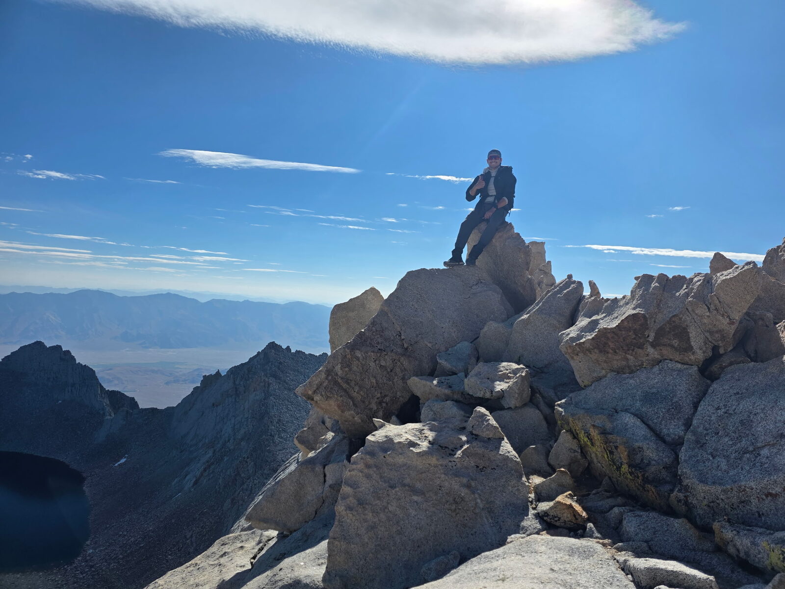
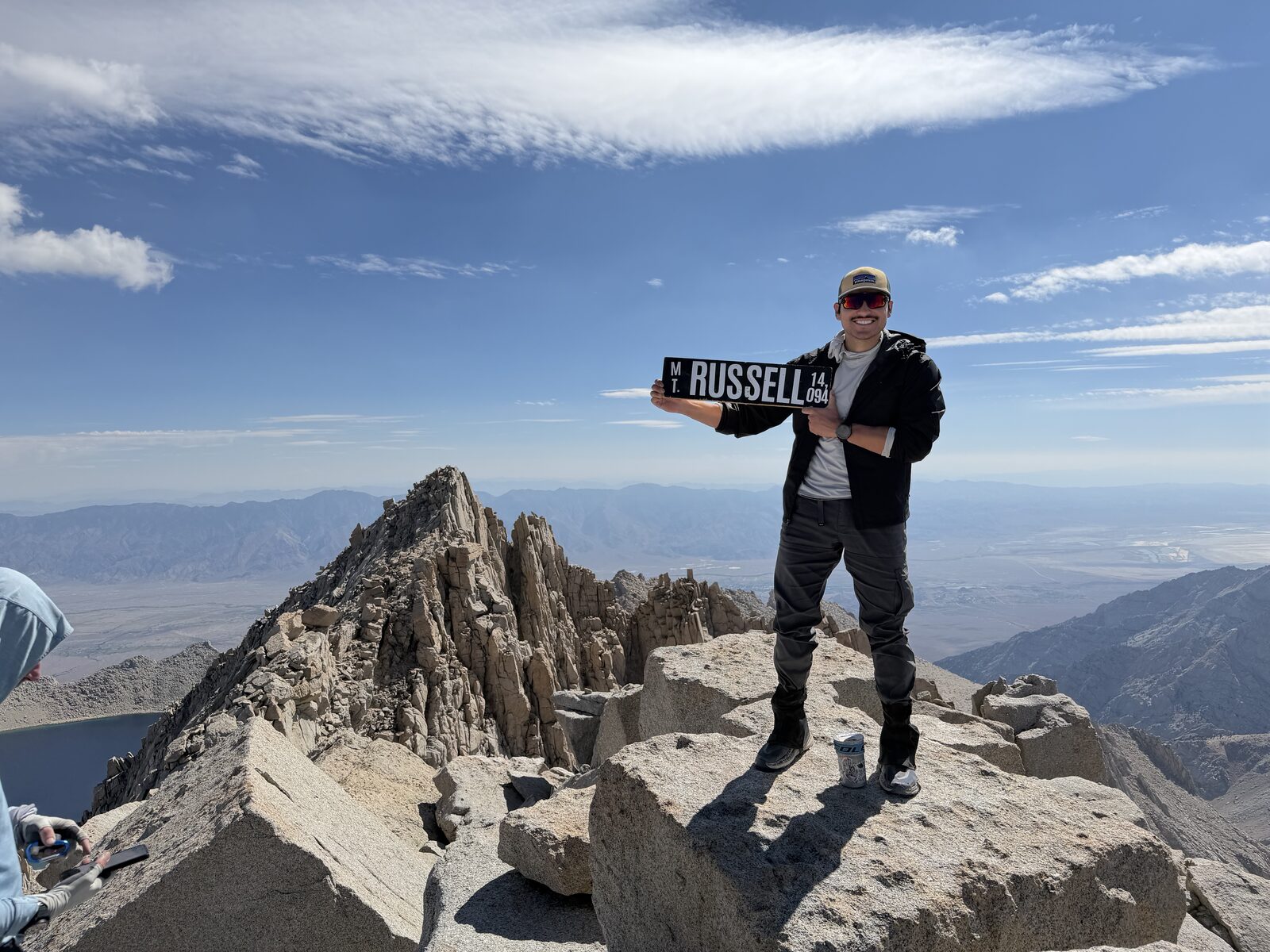
This was the hardest thing I have ever done, and standing on that summit is the most rewarded I have ever felt. The top is tiny, which after Langley's enormous plateau the day before felt like a joke.
Coming down, the scree punished me. Huge blisters on both feet and the last stretch felt like it would never end. Nine or ten miles, and the hardest of my life.