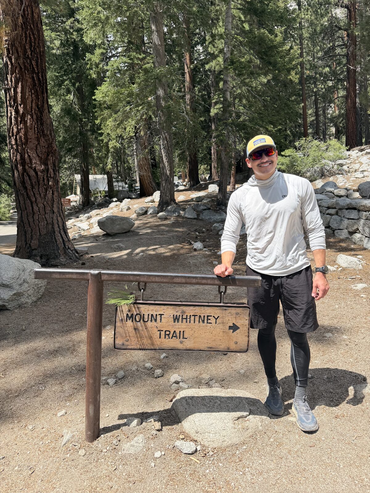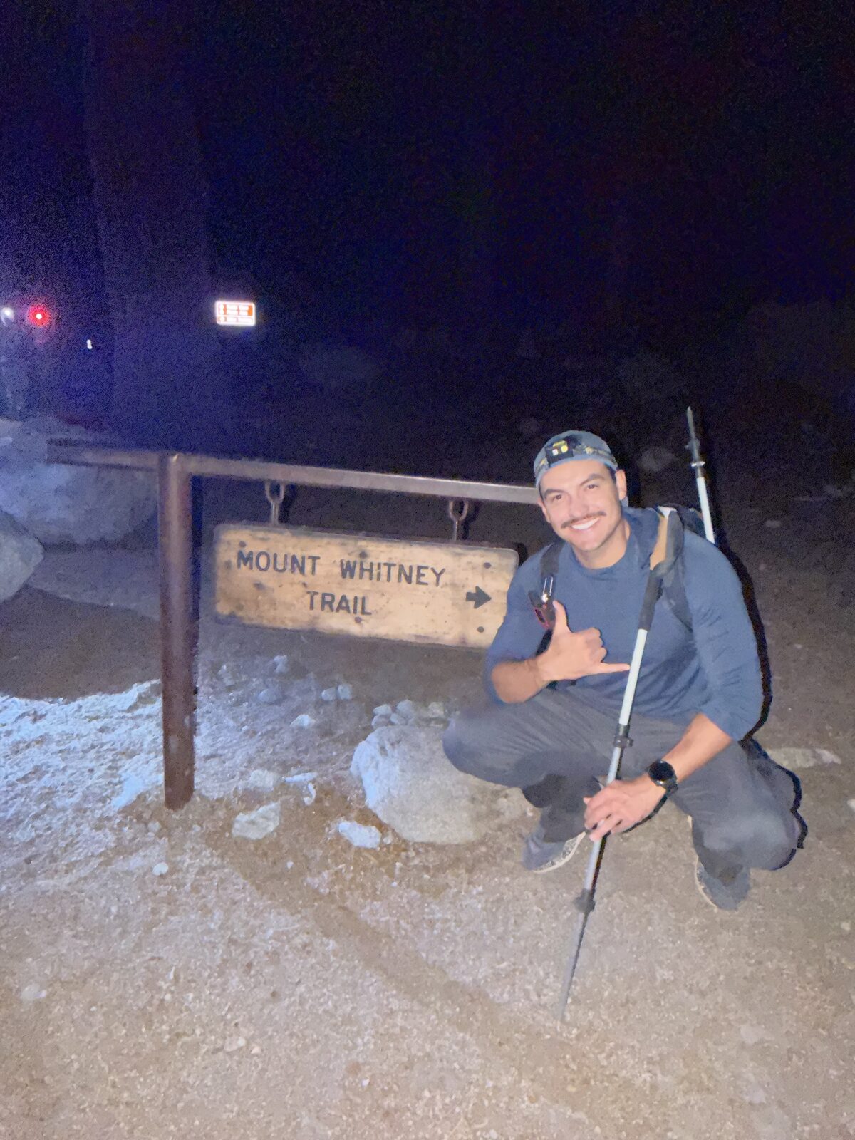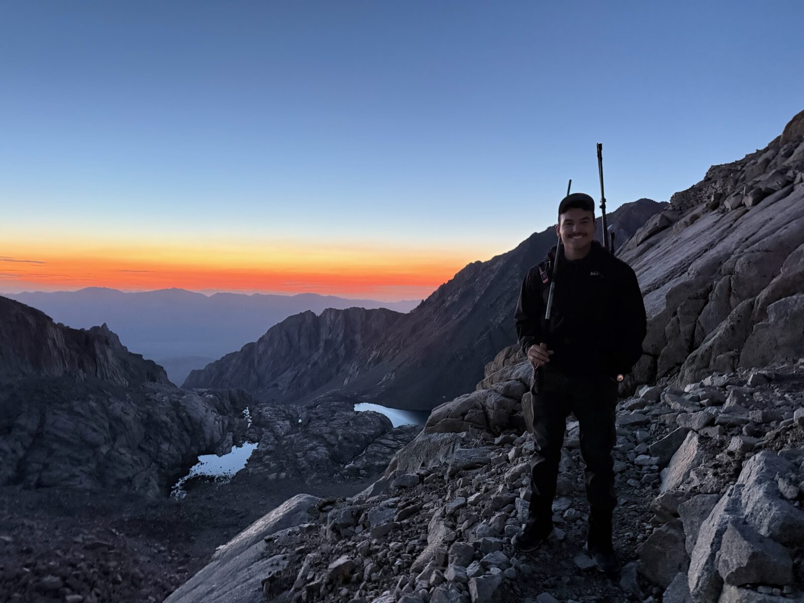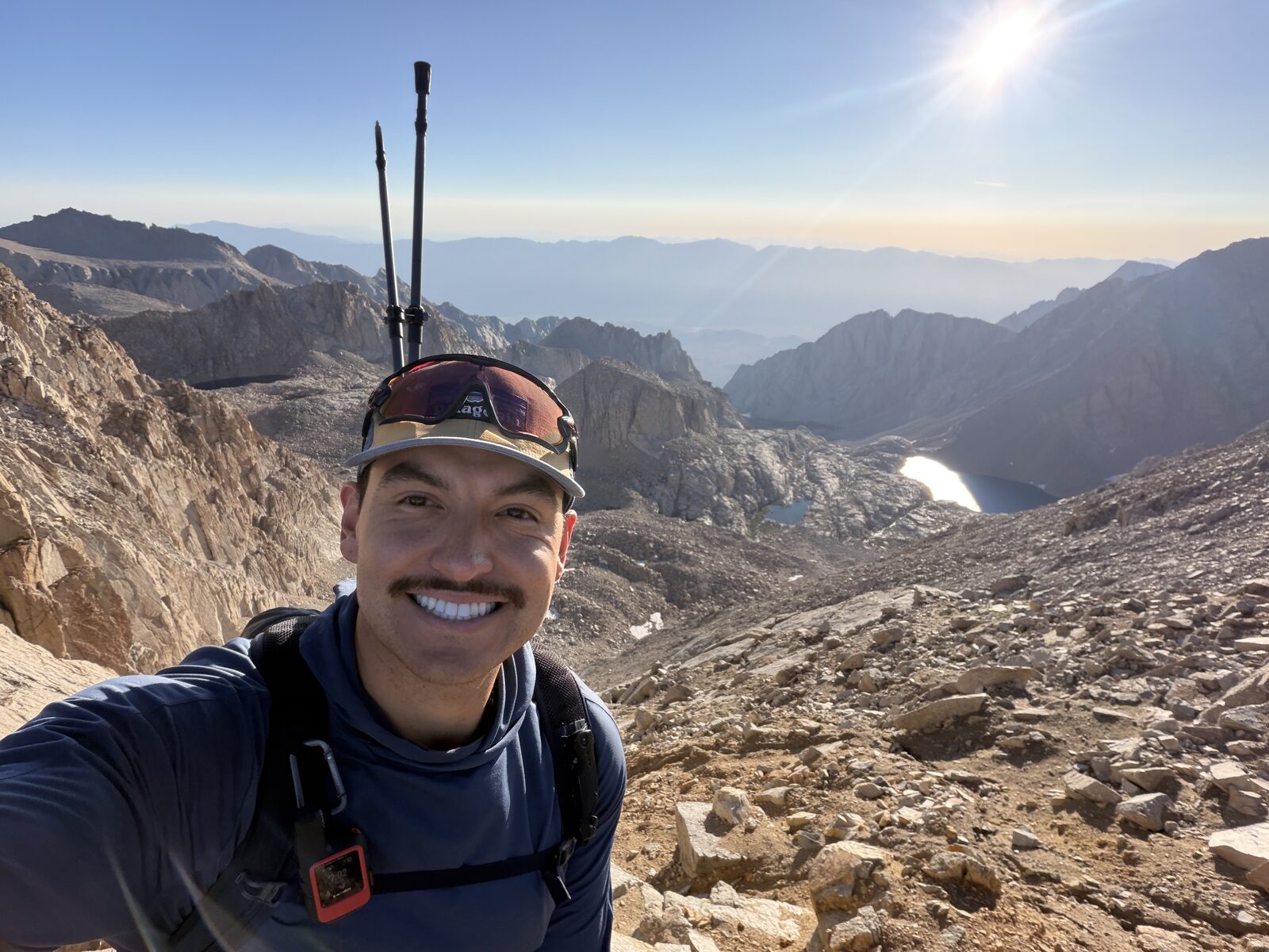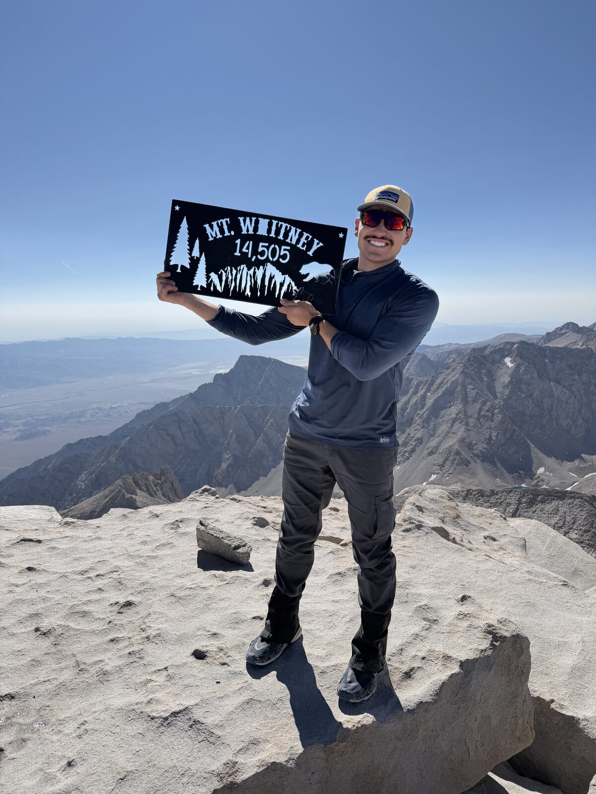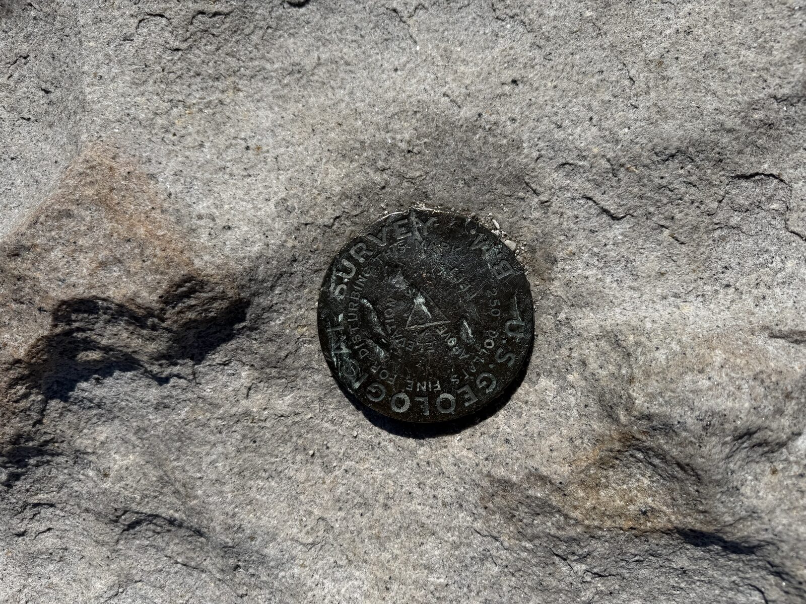
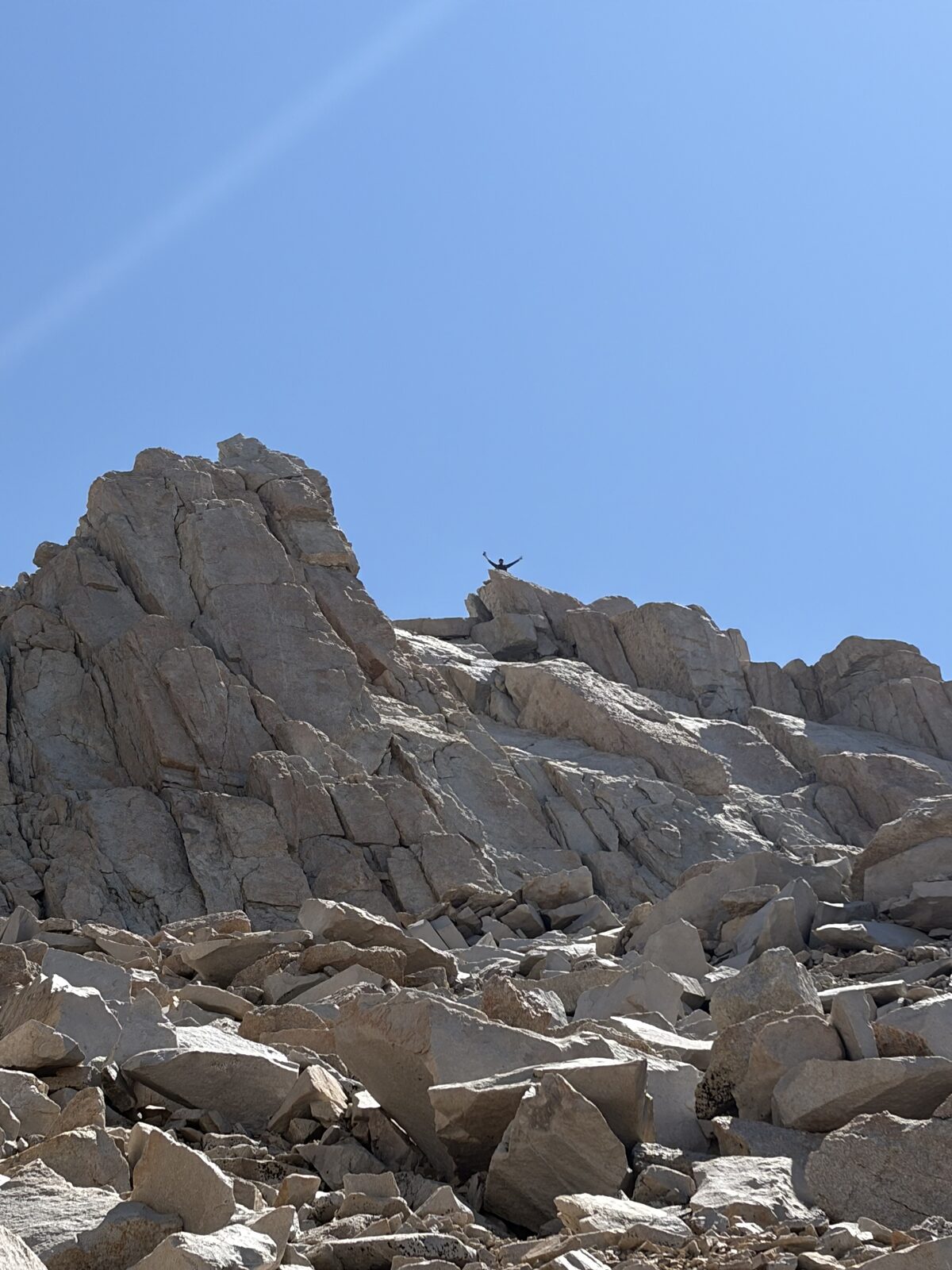
August 9, 2026 · Whitney Trail from the Portal, with the unmarked scramble to Muir off Trail Crest. My second time on Whitney, and the first peak of the project I did with company.
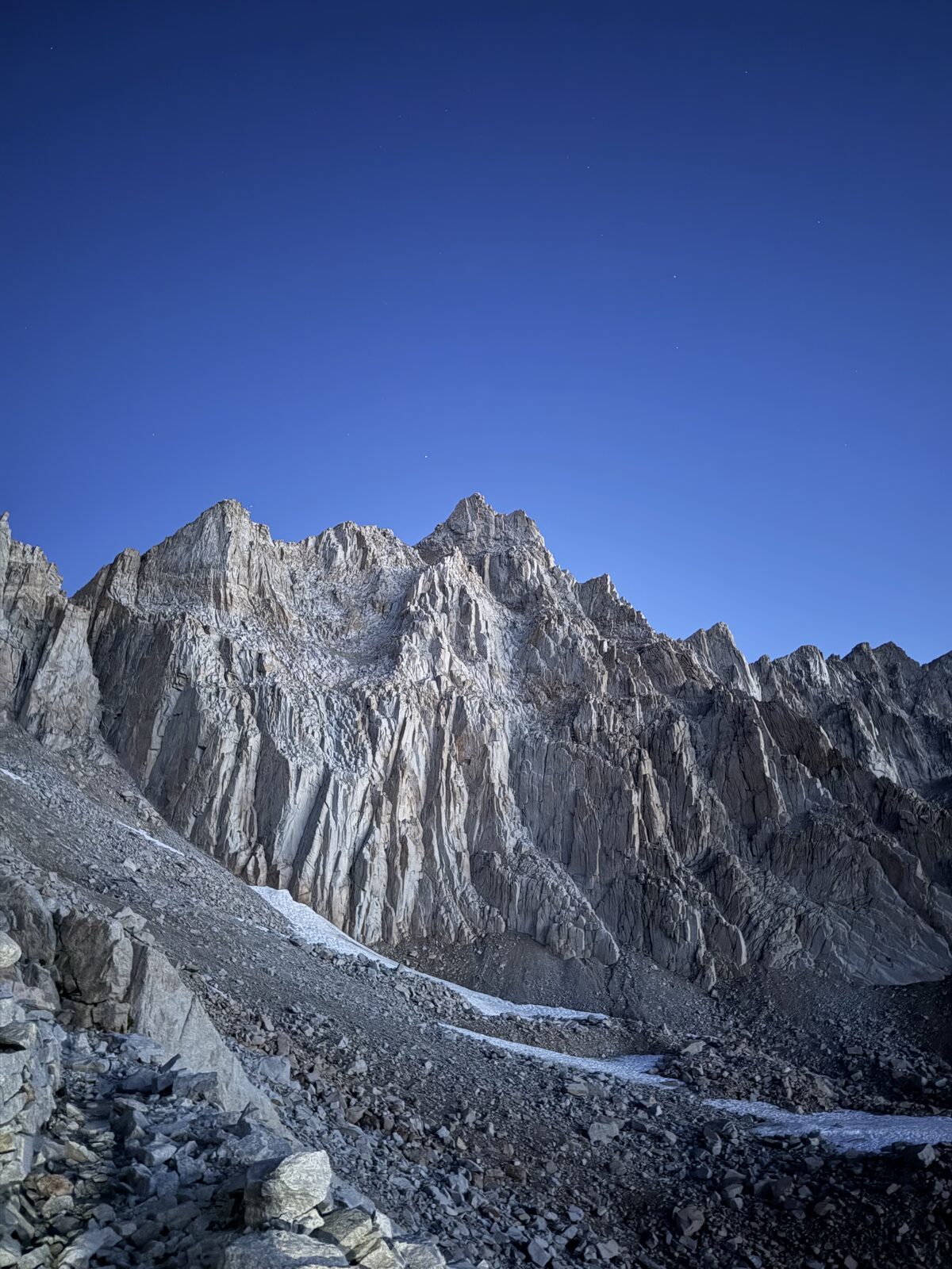
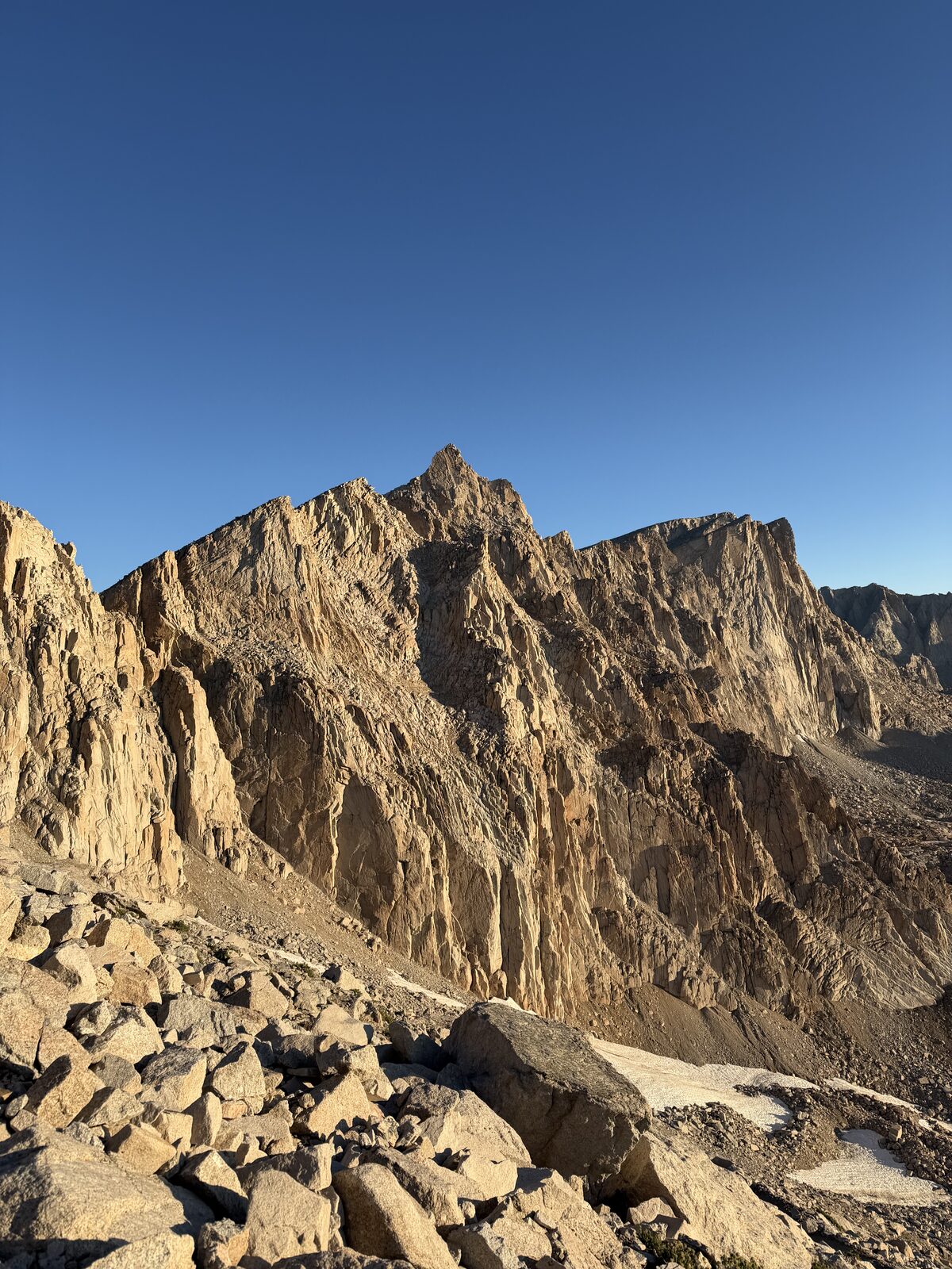
Going into this trip, my intention was always to hit both peaks. I had read enough beforehand to know Muir sits off the trail past Trail Crest and that the detour is short, and I knew it was a Class 3 scramble. As I'm sure you may have found is that there is very limited information online other than some short youtube videos of the scramble. Thankfully, taking it slow, and finding some cairns was helpful in locating the detour. I was definitely anxious regarding how challenging and dangerous Muir would be.
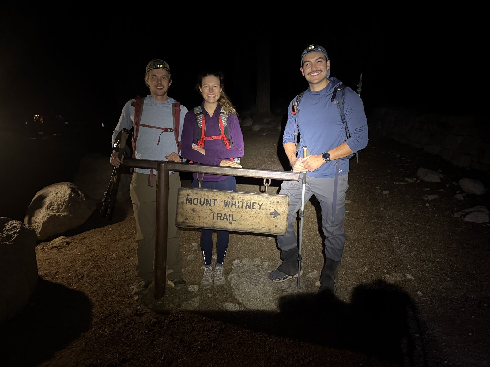
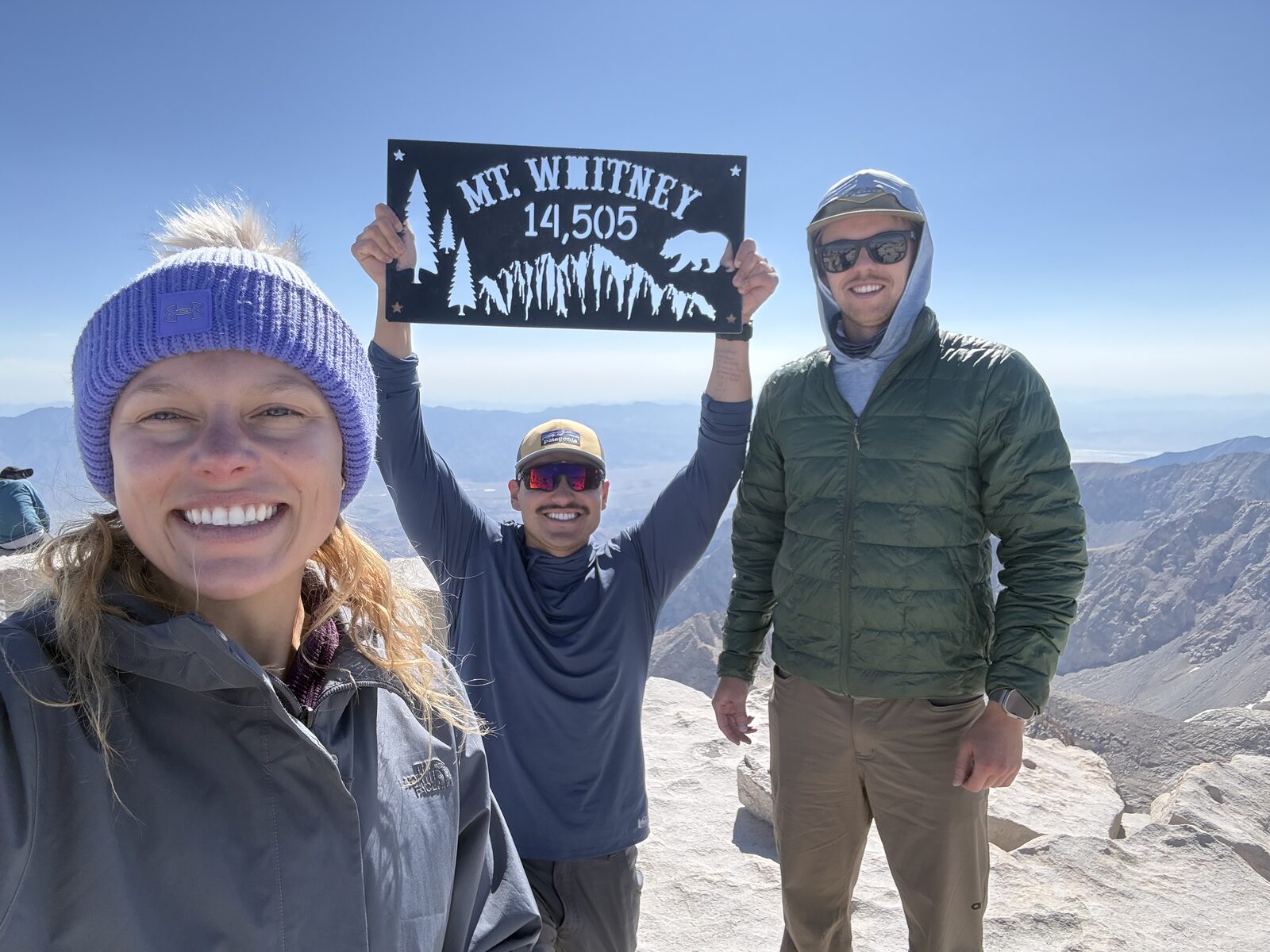
I did this trip with my friend John Paul and his girlfriend Hannah. We drove up separately on Friday afternoon, the 7th, then spent all of Saturday acclimatizing in anticipation.
Saturday was also when the weather tried to end the trip. A thunderstorm came through and it rained hard, and for a while we genuinely thought we would not be starting at all, let alone summiting. The forecast had it clearing around 8 or 9 that night, with more thunderstorms rolling back in around 1 p.m. the next day. That gave us the shape of the day: start late enough that our permit was in effect once we entered the Whitney Zone after midnight, early enough to be off the summit before the weather returned. We settled on 11 p.m.
The rest day did its job. I felt fantastic the entire way up, which is not how the mountain treated me the first time. We went deliberately slow, slower than when I did this with Drake the year before, and it took longer as a result. None of that mattered. We were on top around 9 a.m. On the way up, John Paul was the one who pointed out where Muir may potentially be based on the cairns. On the way back down I split up from the group so that I could get started on Muir and they might be able to see me on top.
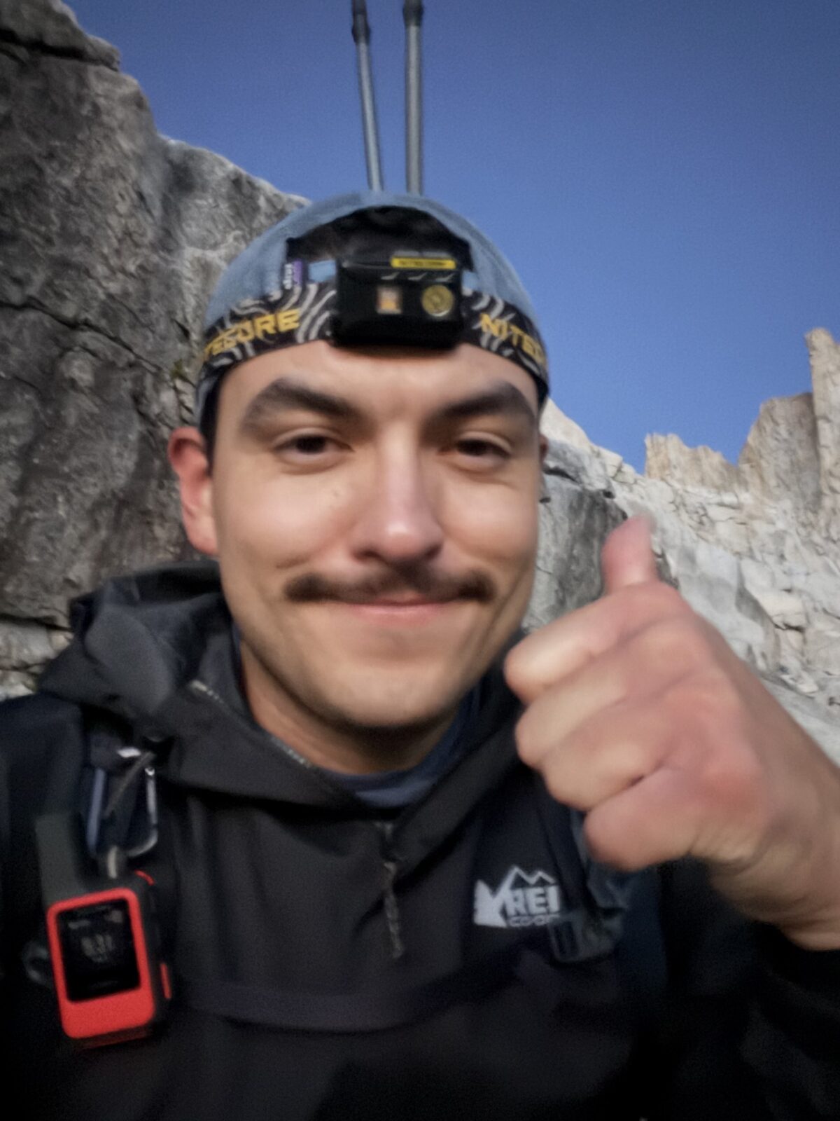
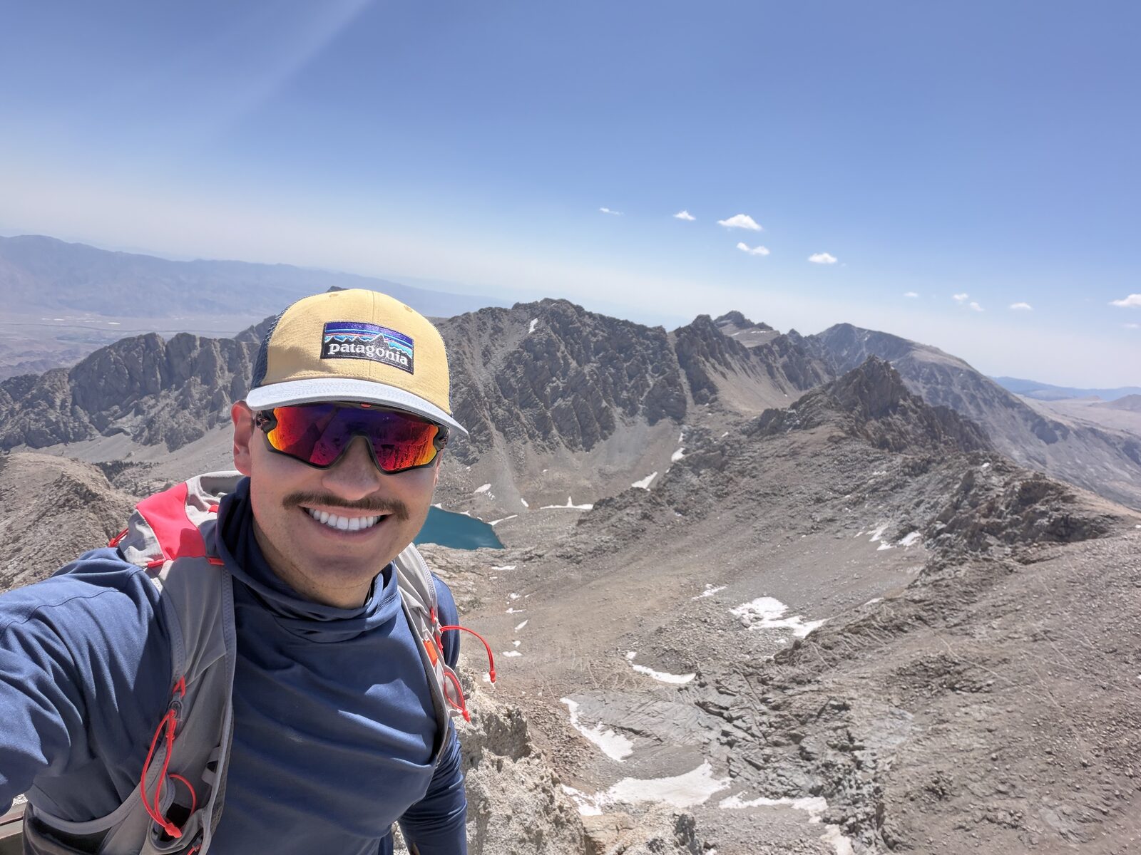
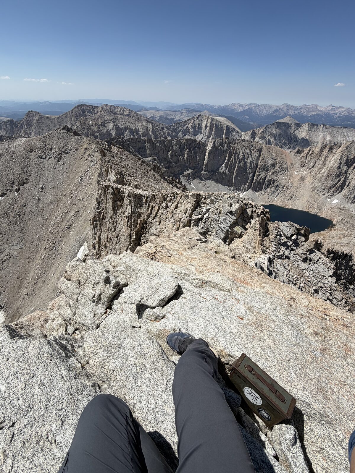
Once I found the detour, I dropped my pack and trekking poles on the trail, put on my running vest, took my phone and went up. Fifteen minutes or so to the top. There is real Class 3 in there and a couple of moves I would argue are Class 4, more bouldering than hiking. If you have any hesitation or a fear of heights, I would recommend you avoid this peak.
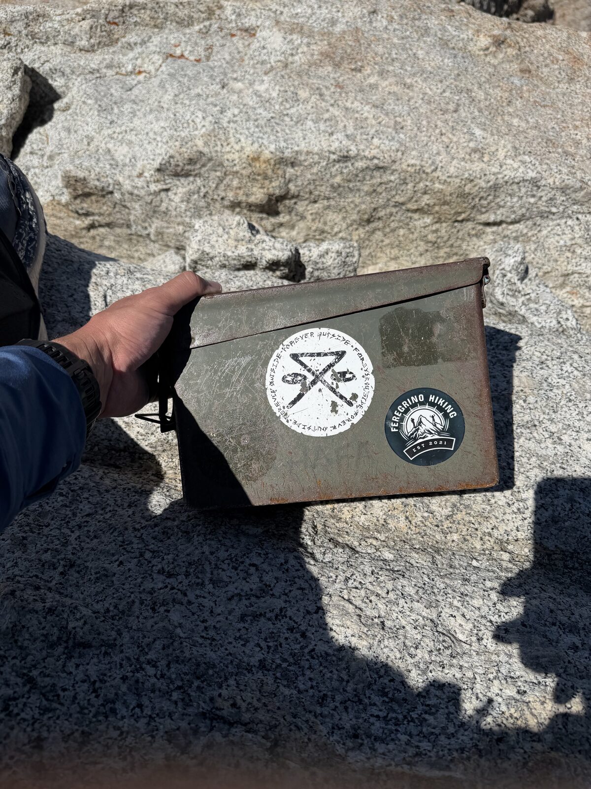
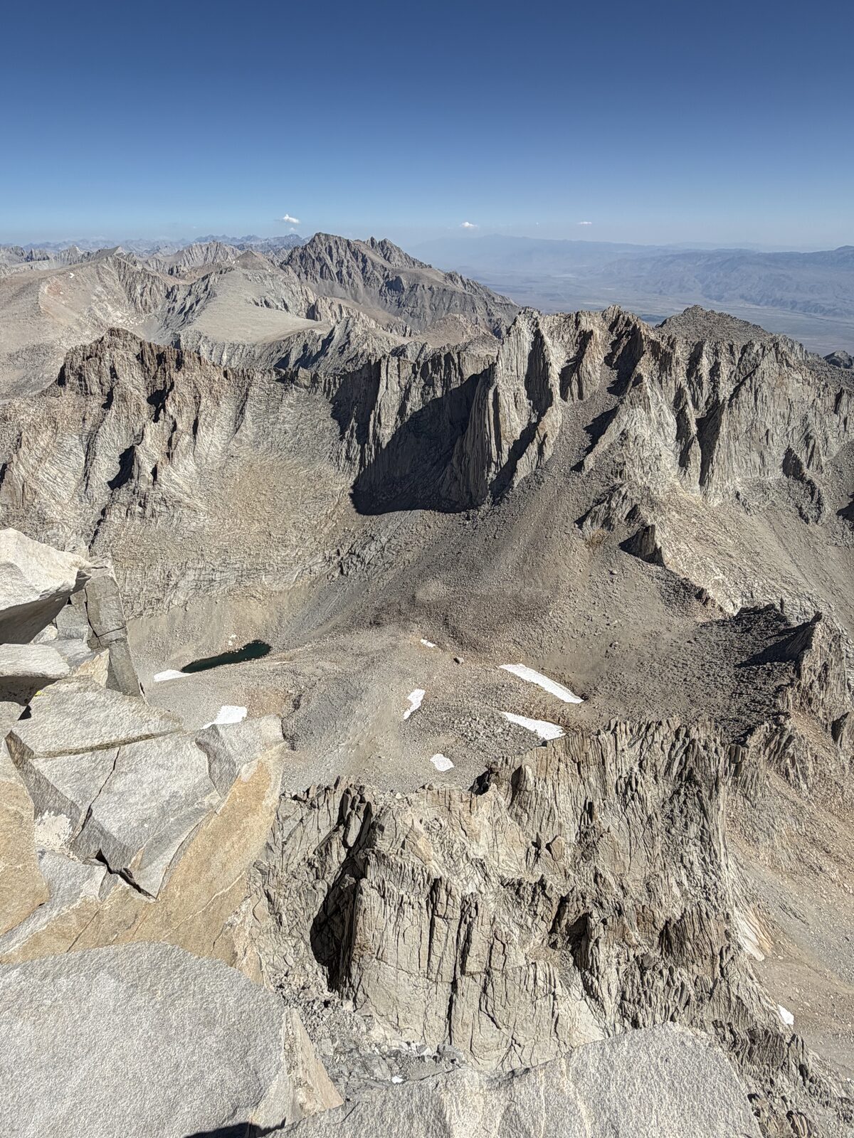
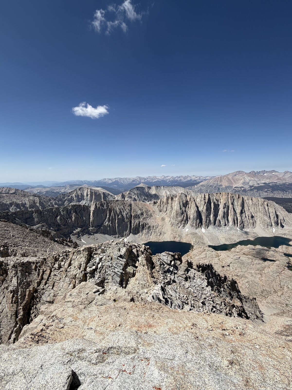
The top felt unreal. It feels like a place nobody goes. There is a trail register in an ammo box up there and the last entry was a couple of weeks old, which tells you how rarely anyone actually stands on Muir. It was very rewarding.
Coming down was the sketchy part. At least two spots were exposed enough that a fall would probably have killed me. Past those it eases up, but it is loose rock and scree the whole way and you cannot switch off. If you know the line and know what you are doing, the whole detour is under thirty minutes.
The rest of the descent was slow going. We made it down with daylight to spare, finishing around 4 p.m. I can't wait to go again. It is my favorite place on earth and my most coveted hiking trail. The next time I go, it'll be up the mountaineer's route.